EuroVelo 8 in Montenegro and Albania: Map and 11 Stages to Greece
The 722 km of EuroVelo 8 from Dubrovnik to the Greek border in 11 stages, with the distance, climbing, traffic and signage that the official map leaves out.
Quick links
Don't want to read all this?
We've planned 800+ cycling trips. Send your dates, fitness and group size — we'll map the route and book every night.


EuroVelo 8 runs from Dubrovnik through Montenegro and Albania to the Greek border. On the map it is a coastal line, but on the ground it is ordinary roads with no signs. This guide splits the official GPX into 11 stages.
What Is EuroVelo 8?
The EuroVelo 8 Mediterranean Route is part of the EuroVelo network run by the European Cyclists' Federation (ECF). It covers 7,350 km from Cádiz to Cyprus through 10 countries, and the ECF's route page and GPX files are the official source.
This guide follows it from Dubrovnik to the Qafë Botë border: 50 km in Croatia, 212 km in Montenegro and 461 km in Albania. The ECF has no national coordinator in Montenegro or Albania. For other rides in the region, see our guide to cycling the Balkans.
What You Need to Know at a Glance
Distance: 722 km and about 6,700 m of climbing
Stages: 11, from 35 to 134 km; plan on 12 to 14 riding days
Signs: none on this section
Best months: May, June, September and October
Our tours: three ride about 200 km of it, luggage moved
How Developed Is EuroVelo 8 South of Dubrovnik?
Since 2026 the ECF grades each section from certified down to undeveloped or unknown. Partially developed means cycling is possible but traffic or surfaces need work, so the ECF calls it suitable for experienced cyclists only.
All 212 km in Montenegro are undeveloped or unknown, and 457 km elsewhere are partially developed. Only Fier to Orikum, 53 km, counts as developed, and not one kilometre carries EuroVelo signs.
The ECF's 2026 development report counted a 12% rise in developed kilometres on EuroVelo 8 in Albania, and expects a national coordinator there in the coming years.
EuroVelo 8 Route Map: Dubrovnik to the Greek Border
The official EuroVelo 8 map leaves the sea at the Bay of Kotor, climbs over Lovćen to Cetinje and rounds Lake Skadar, then detours inland to Tirana before Durrës.
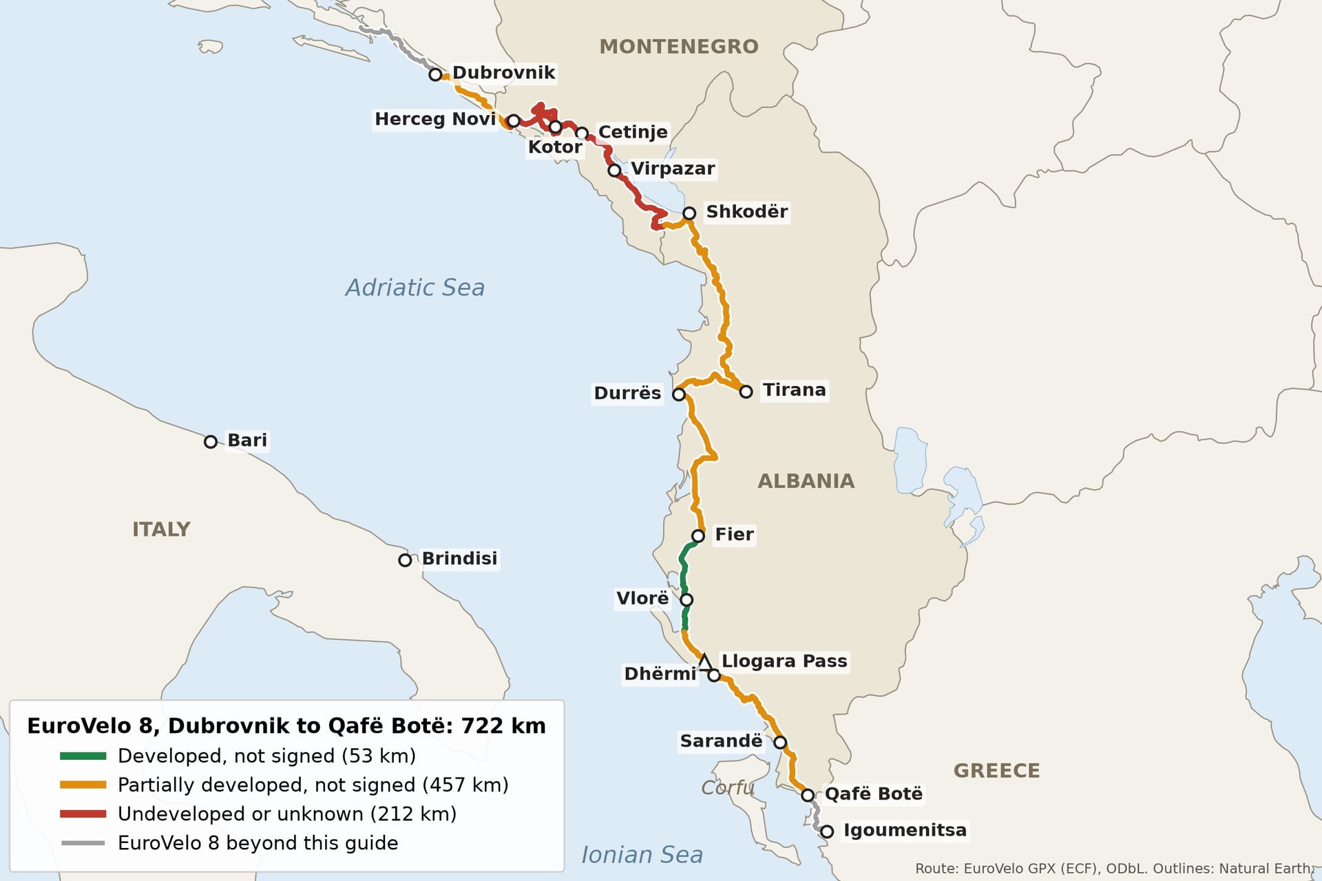
Download the full GPX, because the developed-parts file holds only 53 of the 722 km, from Fier to Orikum. The route planner on the same page shows the line country by country.
The table numbers the 11 stages as the country sections below do. Distances come from the ECF's GPX of October 2026, and a tilde marks our climbing estimates.
Stage | Distance | Climb | ECF grade |
1. Dubrovnik to Herceg Novi | 57 km | ~600 m | Partially developed, then unknown |
2. Herceg Novi to Kotor | 44 km | ~200 m | Undeveloped or unknown |
3. Kotor to Cetinje | 62 km | ~1,250 m | Undeveloped or unknown |
4. Cetinje to Virpazar | 42 km | ~400 m | Undeveloped or unknown |
5. Virpazar to Shkodër | 72 km | ~1,150 m | Unknown, then partially developed |
1. Shkodër to Tirana | 119 km | ~300 m | Partially developed |
2. Tirana to Fier | 134 km | ~150 m | Partially developed |
3. Fier to Orikum | 53 km | ~200 m | Developed, not signed |
4. Orikum to Dhërmi | 38 km | ~1,050 m | Partially developed |
5. Dhërmi to Sarandë | 68 km | ~1,250 m | Partially developed |
6. Sarandë to Qafë Botë | 35 km | ~300 m | Partially developed |
The GPX smooths out short rises, so a cycle computer will usually record more climbing. The Kotor serpentine and the Llogara Pass are the two big days.
EuroVelo 8 in Montenegro: Dubrovnik to Shkodër
This part covers 277 km in five stages, from the last 50 km of Croatia to the first 15 km of Albania, numbered north to south. EV8 leaves the coast at Kotor, away from the busy road through Budva.
1. Dubrovnik to Herceg Novi Through Konavle
Distance: 57 km, about 600 m of climbing
Duration: 1 day
Route: Dubrovnik, Cavtat, Konavle, Vitaljina border, Herceg Novi
Surface: asphalt; 9 km of the busy D8, then lanes
Difficulty: moderate, rolling
Best for: a quiet border crossing
EV8 uses about 9 km of the D8 coast road south of Dubrovnik, which riders advise avoiding in heavy traffic, then runs past Cavtat through the villages of Konavle.
The border is the small Vitaljina post, open only to passenger traffic, so queues are usually shorter than at Karasovići.
2. Herceg Novi to Kotor Around the Bay
Distance: 44 km, about 200 m of climbing
Duration: 1 day
Route: Herceg Novi, Kamenari, Risan, Perast, Kotor
Surface: asphalt; half the M-1 bay road, half promenades
Difficulty: easy, nearly flat
Best for: Perast and Kotor at an easy pace
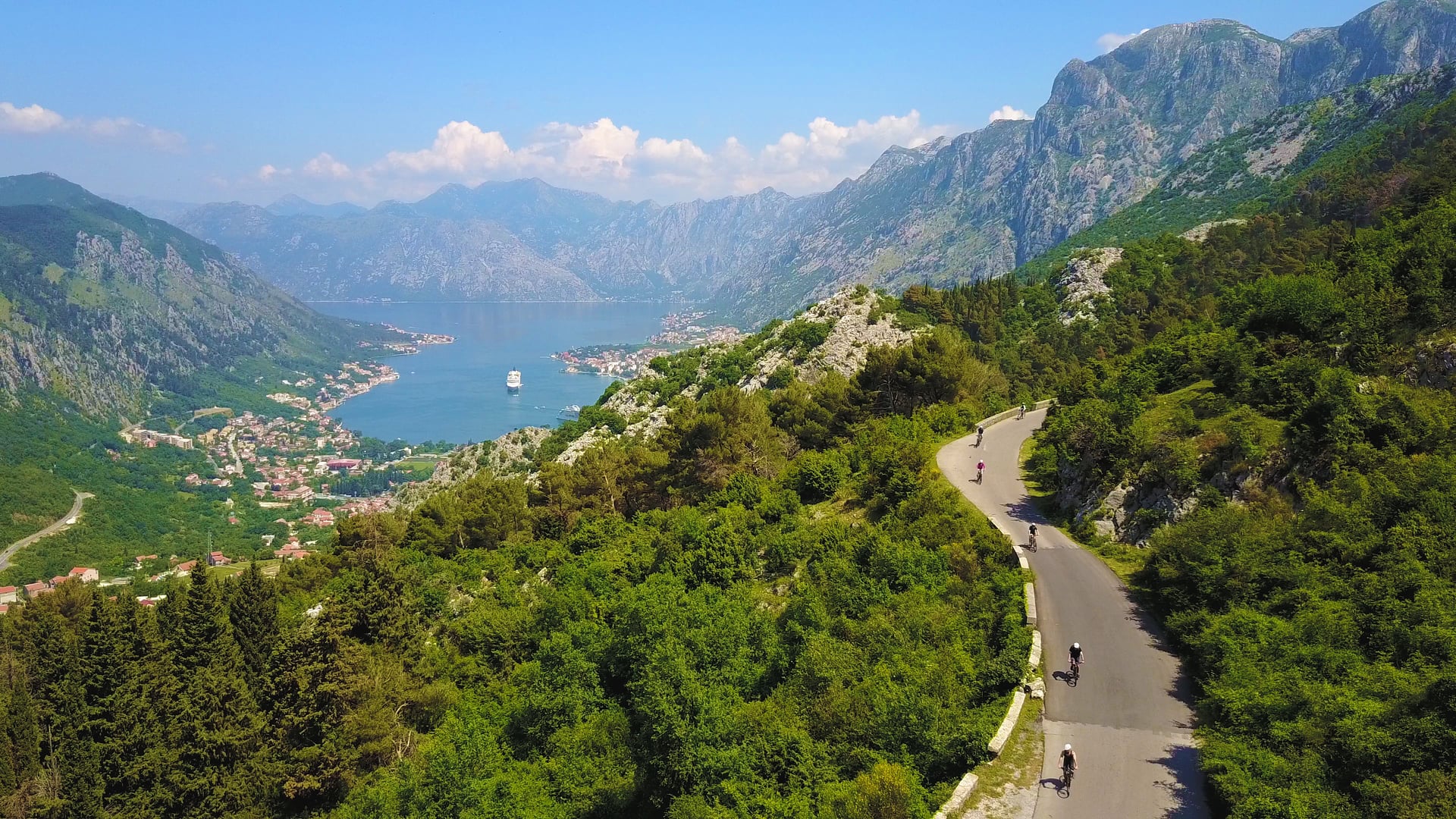
Out of Herceg Novi the shore road rounds the inner bay to Risan, Perast and Kotor, a UNESCO World Heritage Site, never more than about 45 m above the water.
At Kamenari the car ferry to Lepetane carries bikes free. It saves about 43 km, but the shortcut also skips Perast and Kotor.
Map
Day 4 of our Cycle the Balkans tour rides this stage: 45 km with 220 m of climbing, 37 km of it on EV8, with time for the boat to Perast's islands. It moves your luggage but has no support driver.
The tour arrives from Trebinje on day 3 and, after Kotor, takes the coast road to Budva and Bar, rejoining EV8 near the Albanian border on day 7.
3. Kotor to Cetinje Over the Kotor Serpentine
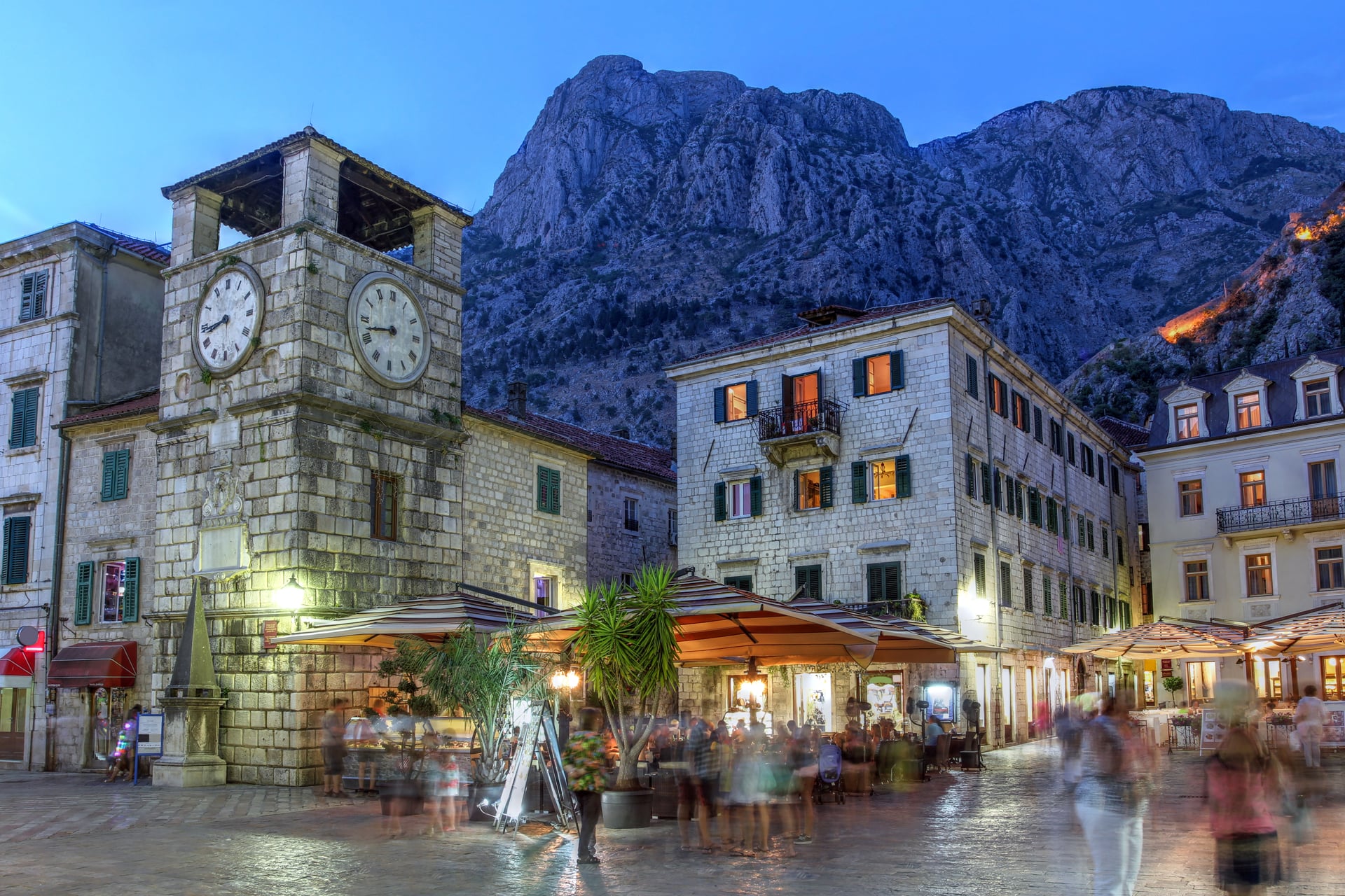
Distance: 62 km, about 1,250 m of climbing
Duration: 1 day
Route: Kotor, Tivat, Trojica, Krstac, Njeguši, Cetinje
Surface: asphalt; bay lanes, then the R-1 over the mountain
Difficulty: hard; the route's high point at about 1,120 m
Best for: the view down onto the bay
Before climbing, EV8 loops 25 km along the bay to Tivat, then starts up at Trojica on the serpentine road, finished in 1884, with 17 hairpins in 7.9 km.
From 25 May to 15 October 2026 the serpentine runs one way at set hours, uphill from Kotor in the morning, so ride up early in the day. Past Njeguši the road tops out at about 1,120 m, then drops to Cetinje, the old royal capital.
4. Cetinje to Virpazar via Rijeka Crnojevića
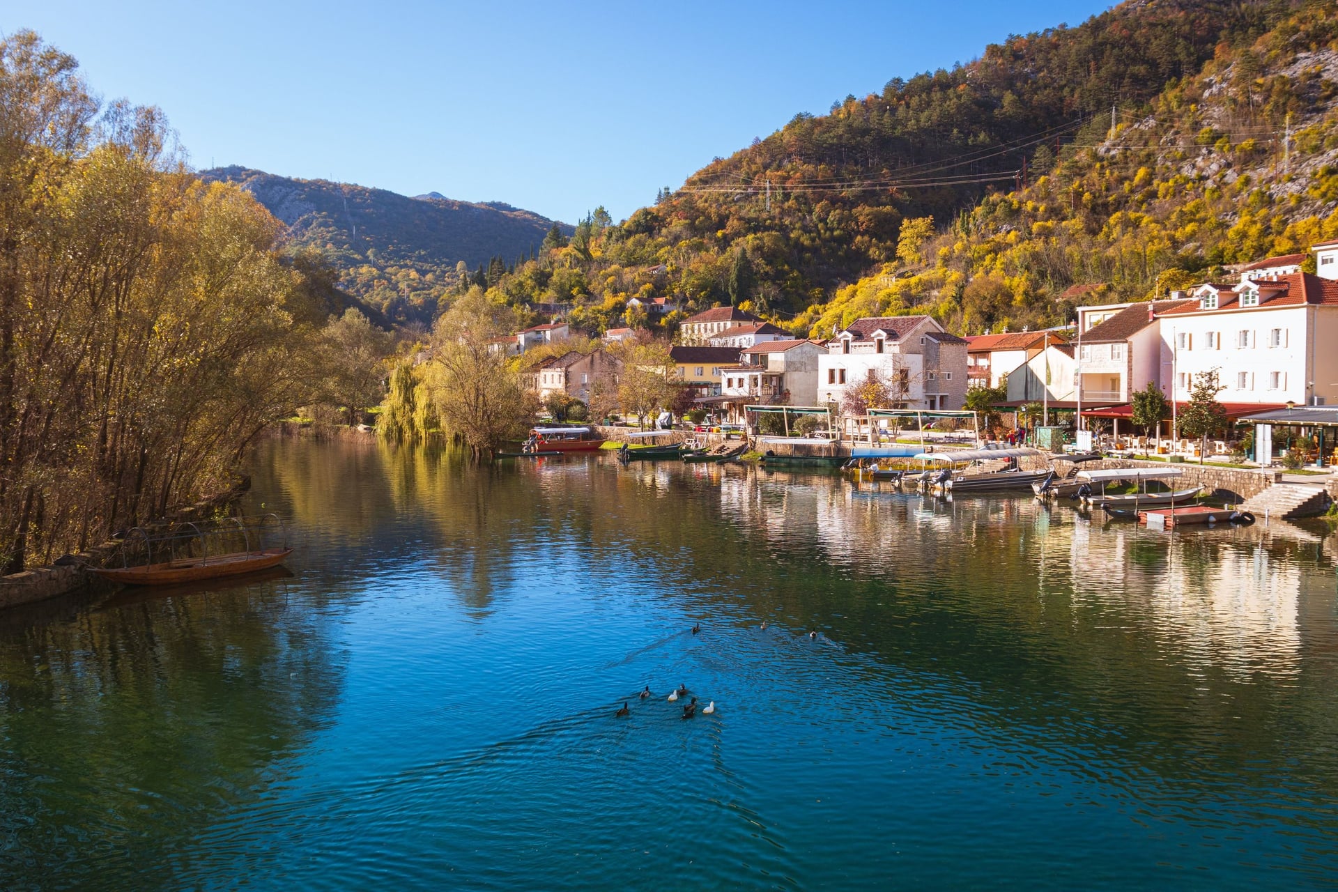
Distance: 42 km, about 400 m of climbing
Duration: half a day to 1 day
Route: Cetinje, Rijeka Crnojevića, Virpazar
Surface: asphalt, minor roads all the way
Difficulty: moderate; a long descent, then rolling
Best for: the quietest roads in Montenegro
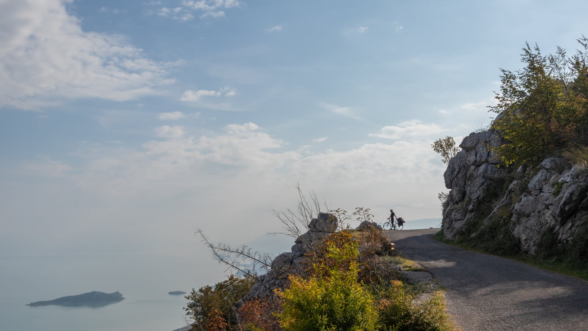
From Cetinje the route drops almost 700 m in 17 km to Rijeka Crnojevića, an old trading town with boats to Lake Skadar, the largest lake in the Balkans.
A minor road above the lake covers the last 25 km to Virpazar. Riders describe EV8 alongside Lake Skadar as superb, with barely any traffic.
5. Virpazar to Shkodër Along Lake Skadar
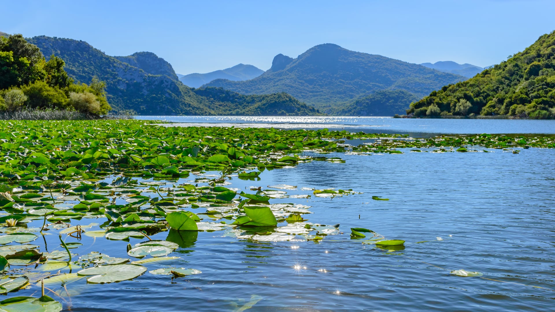
Distance: 72 km, about 1,150 m of climbing
Duration: 1 to 2 days
Route: Virpazar, Vladimir, Sukobin border, Shkodër
Surface: asphalt; the R-15, then the SH41 into Shkodër
Difficulty: hard; rolling, up to about 500 m
Best for: the length of Lake Skadar
Along the south-west shore the R-15 climbs and drops for 57 km to Vladimir and Sukobin, where Montenegro and Albania share one joint checkpoint. The last 15 km follow the SH41, whose wide shoulder riders find easy.
The coast road is the alternative, and our Cycle the Balkans tour takes it: Kotor to Budva on day 5, then a side road above the sea to Bar on day 6.
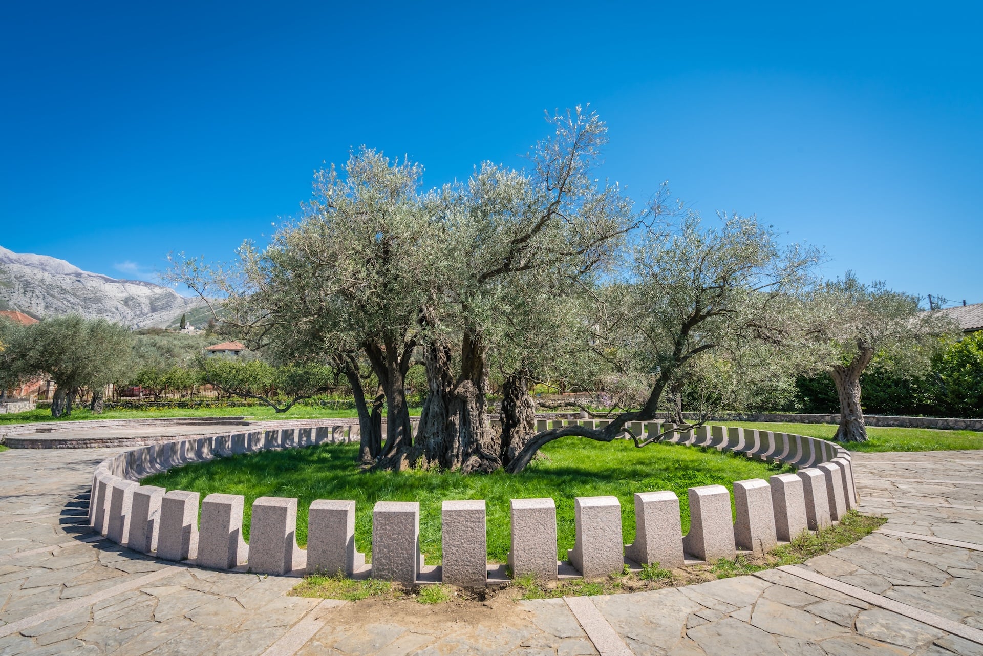
On day 7 it rides 50 km past Lake Šas and joins EV8 for the last 18 km into Shkodër. Budva and Bar lie 10 to 13 km off the official line.
EuroVelo 8 in Albania: Shkodër to the Greek Border
EuroVelo 8 in Albania runs 446 km from Shkodër in six stages, inland to Tirana and then along the coast from Durrës, mostly graded partially developed. For the rest of the country, see our guide to cycling in Albania.
1. Shkodër to Tirana via Lezhë
Distance: 119 km, about 300 m of climbing
Duration: 2 days
Route: Shkodër, Lezhë, Laç, Fushë-Krujë, Tirana
Surface: asphalt; some SH1, then the SH39 after Lezhë
Difficulty: easy, nearly flat
Best for: an easy start in Albania
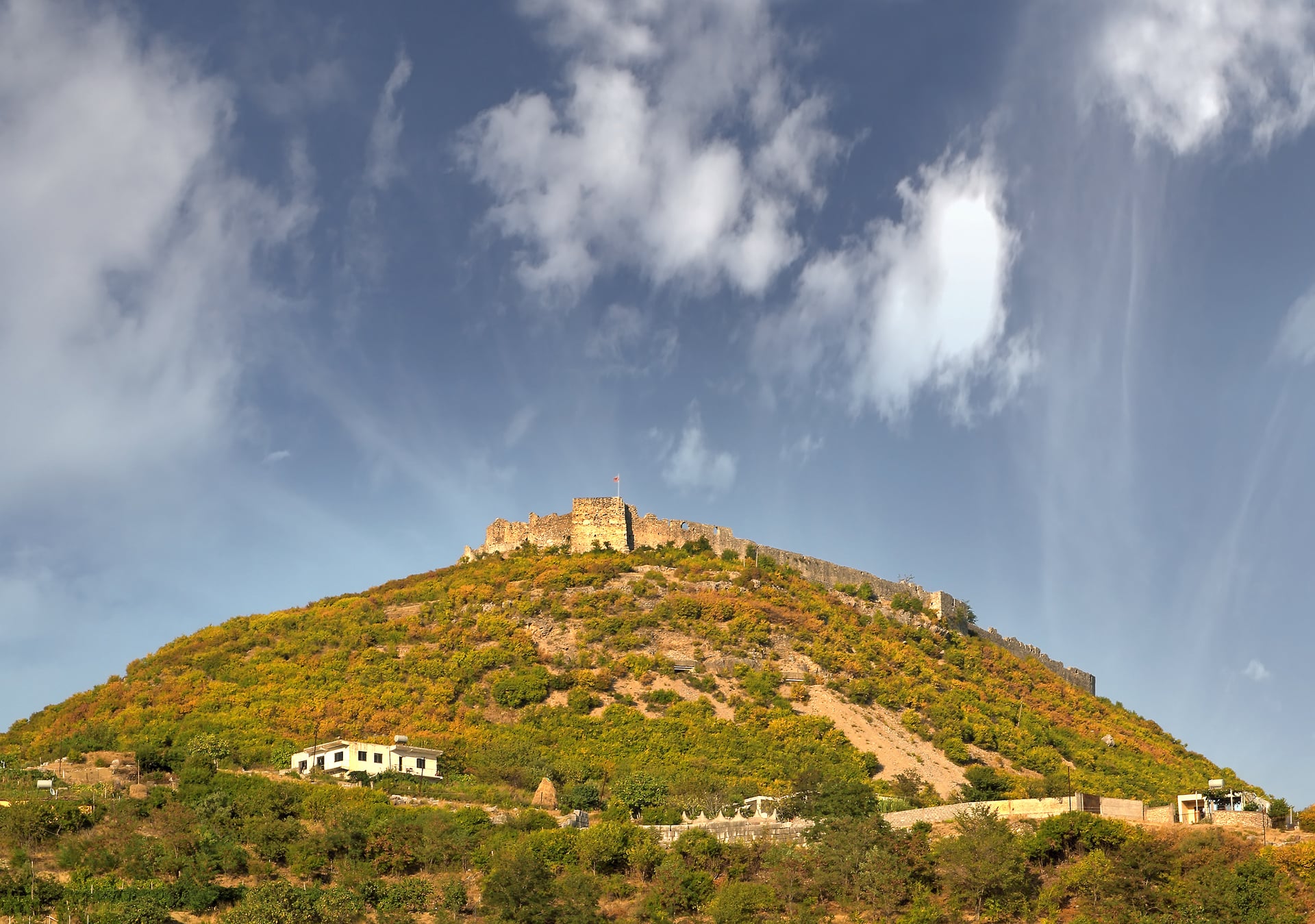
Shkodër's farmland is easy riding, but traffic grows at Lezhë and on the edge of Tirana. If navigation offers the A1 motorway, refuse it: signs at the motorway ban bikes.
Map
Our Trans Dinarica tour in Albania rides about 47 km of this line: 60 km from Shkodër to Laç on day 3, joining EV8 near Lezhë, then 50 km past Prezë castle into Tirana.
The Trans Dinarica cycle route shares this corridor, and the future EuroVelo 21 from Belgrade will end in Shkodër, linking to EV8 by 2031.
2. Tirana to Fier via Durrës
Distance: 134 km, about 150 m of climbing
Duration: 2 days
Route: Tirana, Durrës, Kavajë, Rrogozhinë, Fier
Surface: asphalt; secondary roads and 13 km of the SH4
Difficulty: easy terrain, heavy traffic
Best for: riding every kilometre
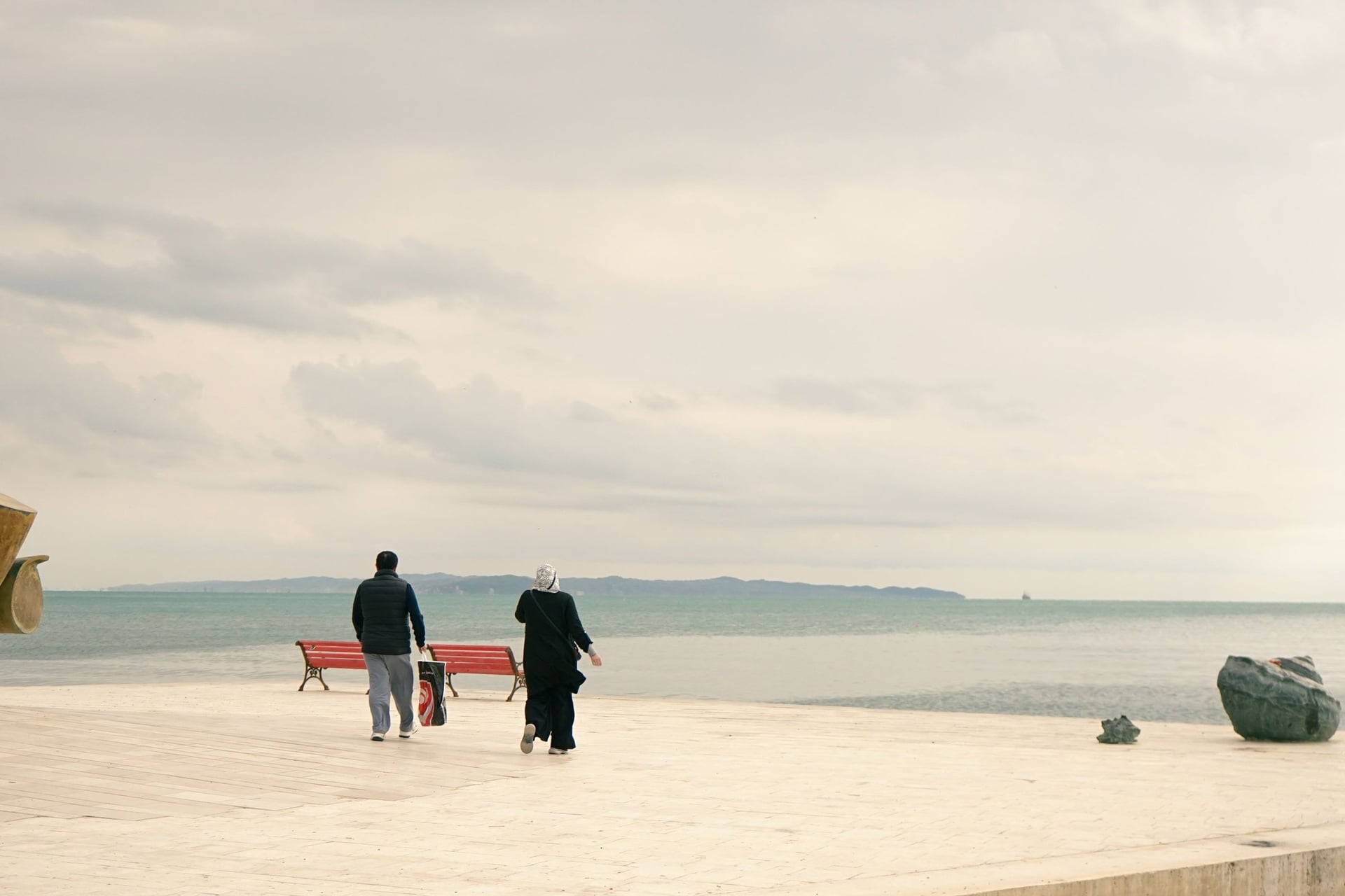
The flattest stage is also the busiest, with city traffic at both ends of the 44 km to Durrës. In Albania's largest port, riders suggest the seafront path as the calmer way through.
South of Durrës the line uses the SH4 for about 13 km, then secondary roads to Fier, with the plainest scenery of the route.
3. Fier to Orikum via Vlorë
Distance: 53 km, about 200 m of climbing
Duration: 1 day
Route: Fier, Vlorë, Radhimë, Orikum
Surface: asphalt, the SH8 main road
Difficulty: easy
Best for: the only developed section
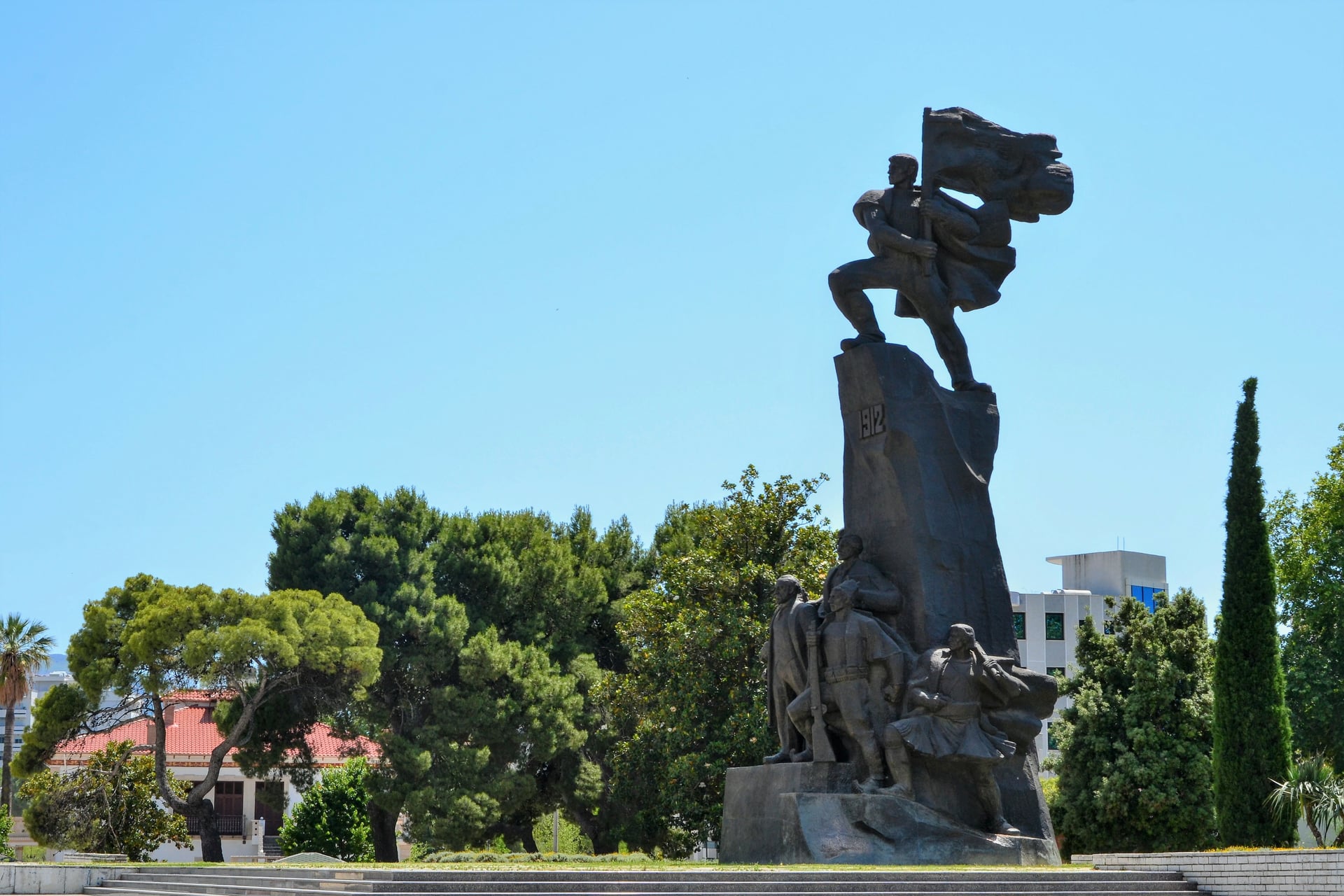
Near Fier, a short detour leads to the ruins of Apollonia, an ancient Greek city. The SH8 then runs to Vlorë, where Albania declared independence, and along the bay to Orikum.
These 53 km are the only stretch the ECF grades as developed between Dubrovnik and Greece, though they are not signed. Orikum sits at the foot of the Llogara Pass.
4. The Llogara Pass: Orikum to Dhërmi
Distance: 38 km, about 1,050 m of climbing
Duration: 1 day
Route: Orikum, Dukat, Llogara Pass (1,027 m), Palasë, Dhërmi
Surface: asphalt, the old SH8 pass road
Difficulty: hard; 13.7 km at 6.5% from Dukat
Best for: one big climb above the Ionian Sea
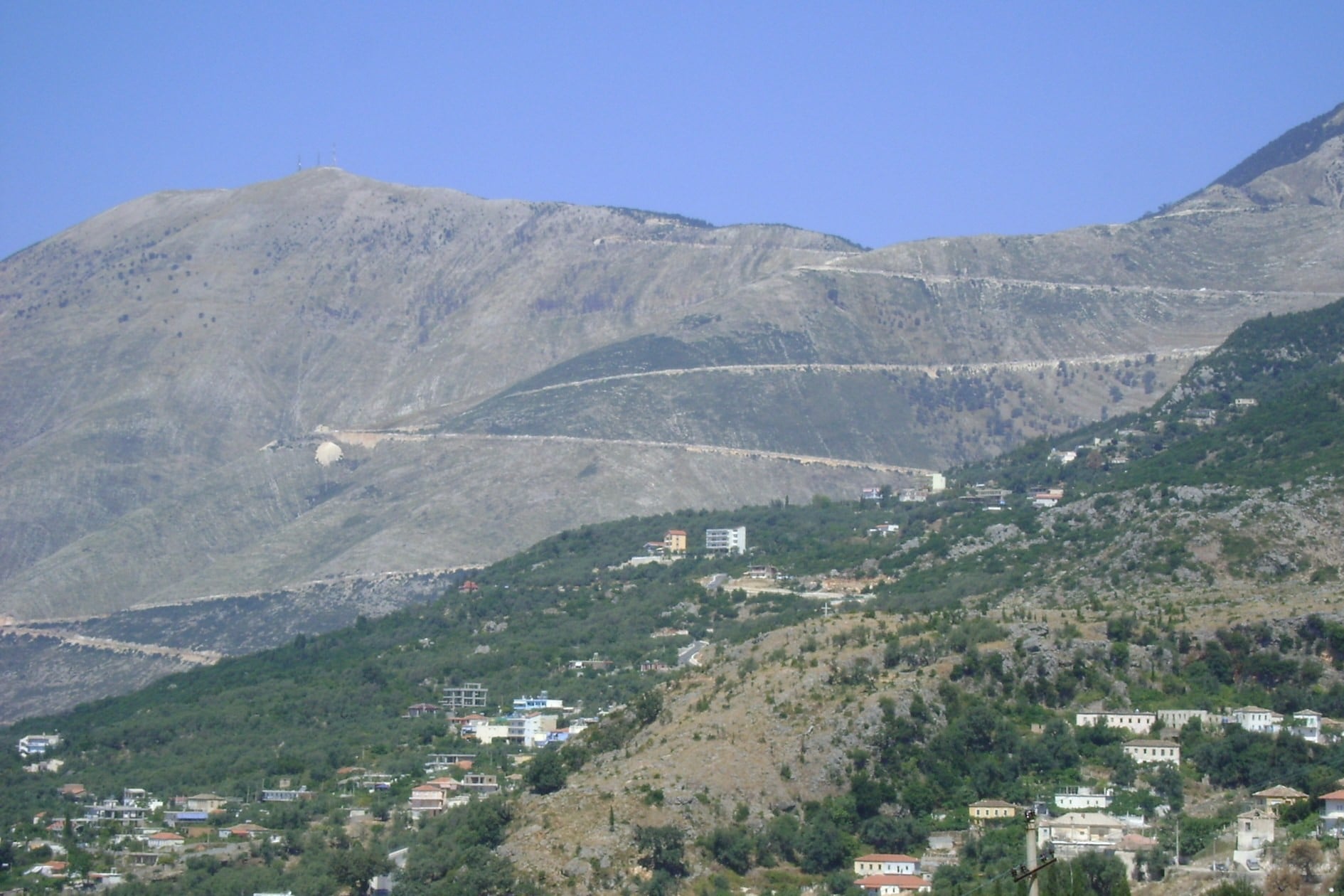
From Dukat the north side climbs 861 m in 13.7 km at 6.5%, with a steepest grade of 10.2%. Pine forest covers the 10.1 km² of Llogara National Park at the top.
From Palasë, the south side is the harder climb: 16.6 km and 1,084 m, with ramps of up to 14%. Since July 2024 a tunnel of about 6 km has taken most traffic, and EV8 keeps to the old road, open and free.
Our Albania UNESCO cycling tour climbs the south side on day 9, its last riding day: 70 km from Himarë to Vlorë with 1,700 m of climbing.
5. The Albanian Riviera: Dhërmi to Sarandë
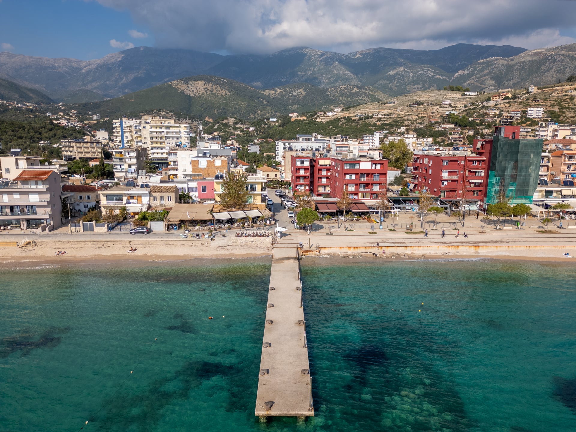
Distance: 68 km, about 1,250 m of climbing
Duration: 1 to 2 days
Route: Dhërmi, Himarë, Porto Palermo, Borsh, Lukovë, Sarandë
Surface: asphalt, the SH8 coast road
Difficulty: hard; two climbs over 300 m
Best for: beaches and sea views all day
High above the sea, the SH8 drops to Himarë after 18 km, passes Porto Palermo's castle and Borsh's beach, then climbs over Lukovë to Sarandë. July and August bring holiday traffic, so ride the Riviera in May, June or September.
Map
The UNESCO tour rides this stage northbound: day 8 covers 55 km from Sarandë to Himarë with 1,000 m of climbing. With day 9, that is about 106 km of EV8 in two days, with a support driver.
Before the coast, the tour crosses Albania from Lake Ohrid through Korçë, Përmet and Gjirokastër, away from EV8.
6. Sarandë to the Greek Border at Qafë Botë
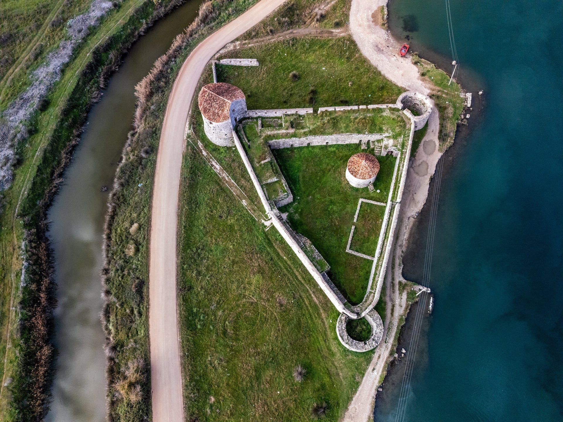
Distance: 35 km, about 300 m of climbing
Duration: half a day; a day with Butrint
Route: Sarandë, Xarrë, Konispol, Qafë Botë border
Surface: asphalt, the quiet SH98 and SH97
Difficulty: moderate
Best for: a quiet finish into Greece
Inland from Sarandë the official line misses Ksamil and Butrint, a Greek and Roman city on the UNESCO list, by 4 to 6 km. The small Vivari Channel cable ferry at Butrint takes bikes for a fee.
Going via Ksamil, Butrint and the ferry, it is about 40 km to Konispol instead of 34, so the detour costs only about 6 km. The Qafë Botë border opens from 05:00 to 23:00 Albanian time.
When and Which Way to Ride
May, June, September and October suit this route best. Dubrovnik averages highs of 21.5°C in May and 28.2°C in July, Vlorë 23.2°C and 29.7°C, and July and August bring the heaviest coast traffic.
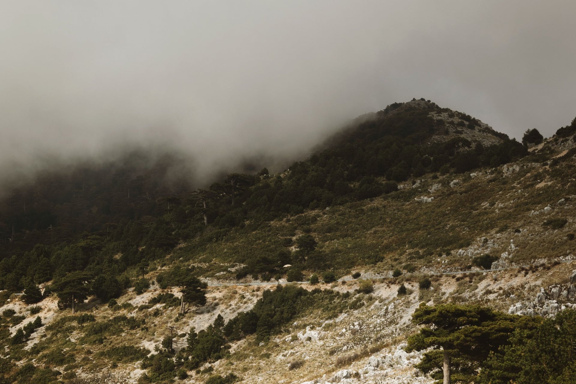
Morning fog often covers the Llogara Pass from April to October, usually clearing by late morning.
North to south, as here, you climb Llogara's shorter north side and the serpentine in its morning uphill window, while riding north means Llogara's steeper south side. Our Balkans cycling guide has temperatures for the region.
How to Get There
EV8 passes within a kilometre of Dubrovnik airport at Čilipi, so starting at the airport skips the city traffic. Jadrolinija ferries from Bari to Dubrovnik carry bicycles, and Tirana airport and the Bari to Durrës ferries serve the middle.
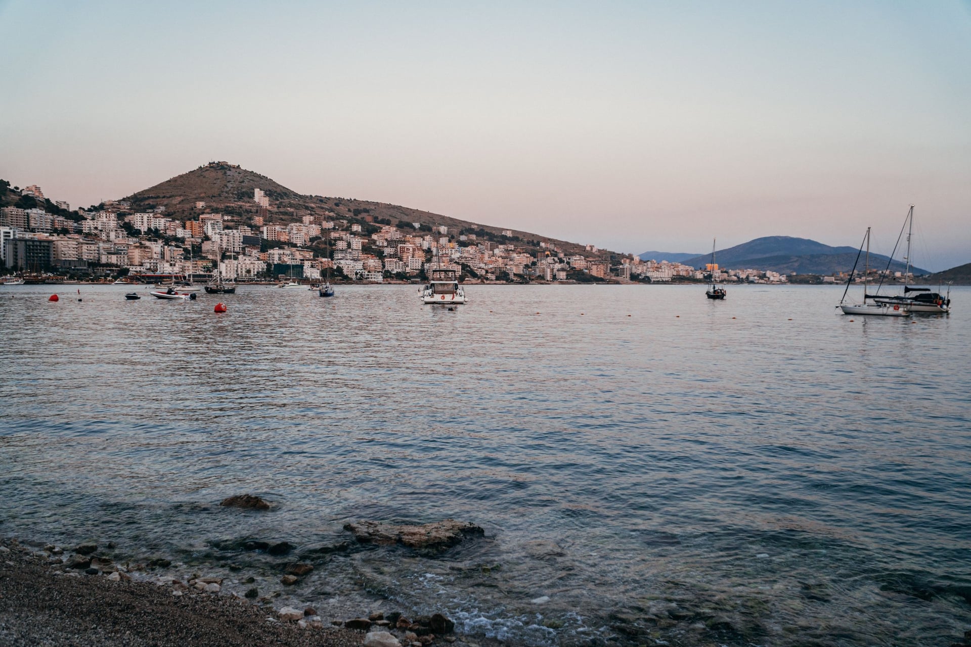
At the end, ferries from Sarandë to Corfu sell bike tickets and take about 30 minutes, and Corfu has an airport. Igoumenitsa, 33 km past the border, has ferries to Italy.
Since 10 April 2026 the Entry/Exit System has fingerprinted non-EU travellers at Schengen borders, so carry your passport. UK visitors need no visa for 90 days in Montenegro and Albania; US visitors should check.
How Much It Costs
The Kamenari ferry saves cyclists 43 km for free, and the old road over Llogara costs nothing. The Vivari Channel ferry, Butrint and the Njegoš Mausoleum charge small fees, and Albania uses the lek, not the euro.
Prices fall as you ride south, and cash matters in rural Albania, where cards are not taken everywhere. Our tours include hotels with breakfast, luggage transfers, a guidebook and a GPS app; bike hire, single rooms and tourist tax are extra.
What to Pack
Load the full GPX on your phone and carry a power bank, because there are no signs to follow. Tyres of 28 mm or wider are enough on asphalt, but low gears matter more than tyres here.
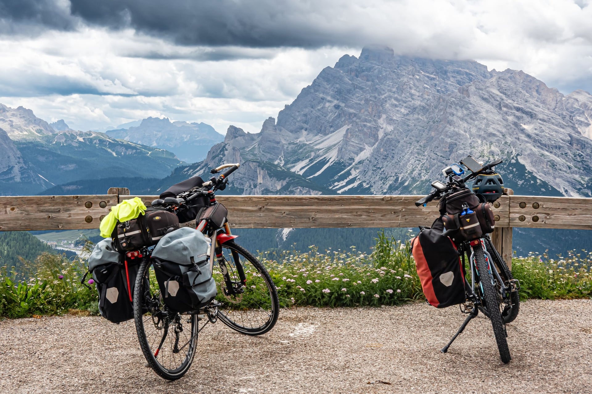
One loaded rider found a 30-tooth chainring and 32-tooth sprocket only just low enough for Llogara. Pack lights and a bright top for the main roads, and a windproof for the 1,027 m Llogara descent. Our Albania cycling guide has a full kit list.
Ready to Ride EuroVelo 8?
Our three self-guided tours each ride part of EuroVelo 8: the Bay of Kotor, Shkodër to Tirana, or Llogara and the Riviera. Dates are on our tours page. To plan your trip, send an inquiry.
Frequently Asked Questions


Plan with a cycling expert
Free advice from a team that knows these routes inside out - real people, not a bot

Hassle-Free
We take care of route planning, accommodations, luggage transfers, and all logistics, so you can focus purely on enjoying your ride.

Tried & Tested Adventures
Our cycling routes are hand-picked & tested, to ensure breathtaking landscapes, smooth roads, and maximum safety - giving you the perfect ride every day.

Unbeatable Support
Our 24/7 customer support is where we show our passion, ensuring your cycling holiday runs smoothly and your well-being is always our top priority.

Book with Confidence
We are a financially protected company, fully bonded and insured, keeping your money safe and allowing you to travel with confidence.