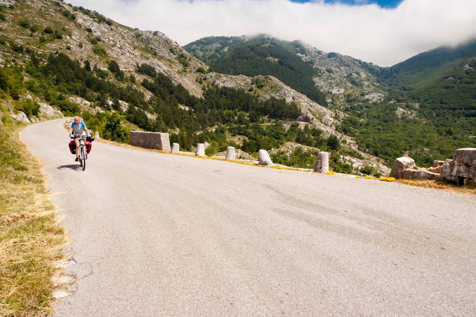
Trans Dinarica Cycle Route: Map and All 8 Country Sections
All eight Trans Dinarica countries part by part, with the stages, distance, climbing and paved share of each, plus all 11 Albanian stages in one table.
Quick links
Don't want to read all this?
We've planned 800+ cycling trips. Send your dates, fitness and group size — we'll map the route and book every night.


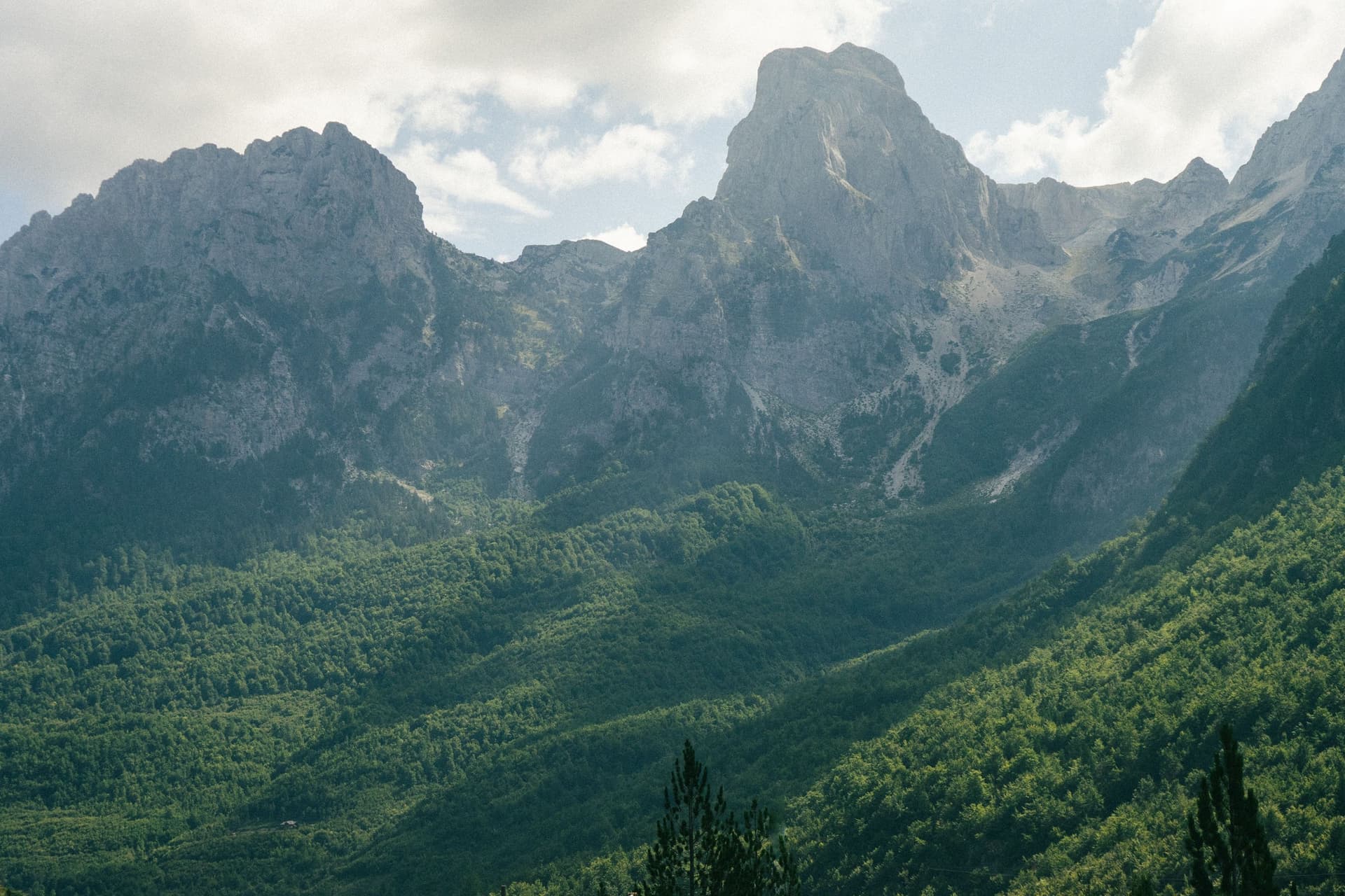
The Trans Dinarica starts beside the Soča in the Julian Alps and loops through the mountains of the Western Balkans as far as Lake Ohrid. On the way you climb onto Durmitor's high pastures, take a ferry through the flooded Drin gorge and drink coffee in the bazaars of Prizren and Novi Pazar.
It opened in July 2024 as the first cycle route to link all eight countries of the Western Balkans. The main route runs about 3,120 km in 62 stages, mostly on quiet roads. Every stage ends in a village or town with a bed.
Nothing marks it on the ground, so you ride from a GPS track, and most riders take one or two countries at a time. In Albania, the fifth of the eight, 97% of the route is asphalt.
Trans Dinarica Cycle Route Map and GPX
From Slovenia the route runs down the Croatian coast and inland to Livno, then makes one big loop through the six countries further south.
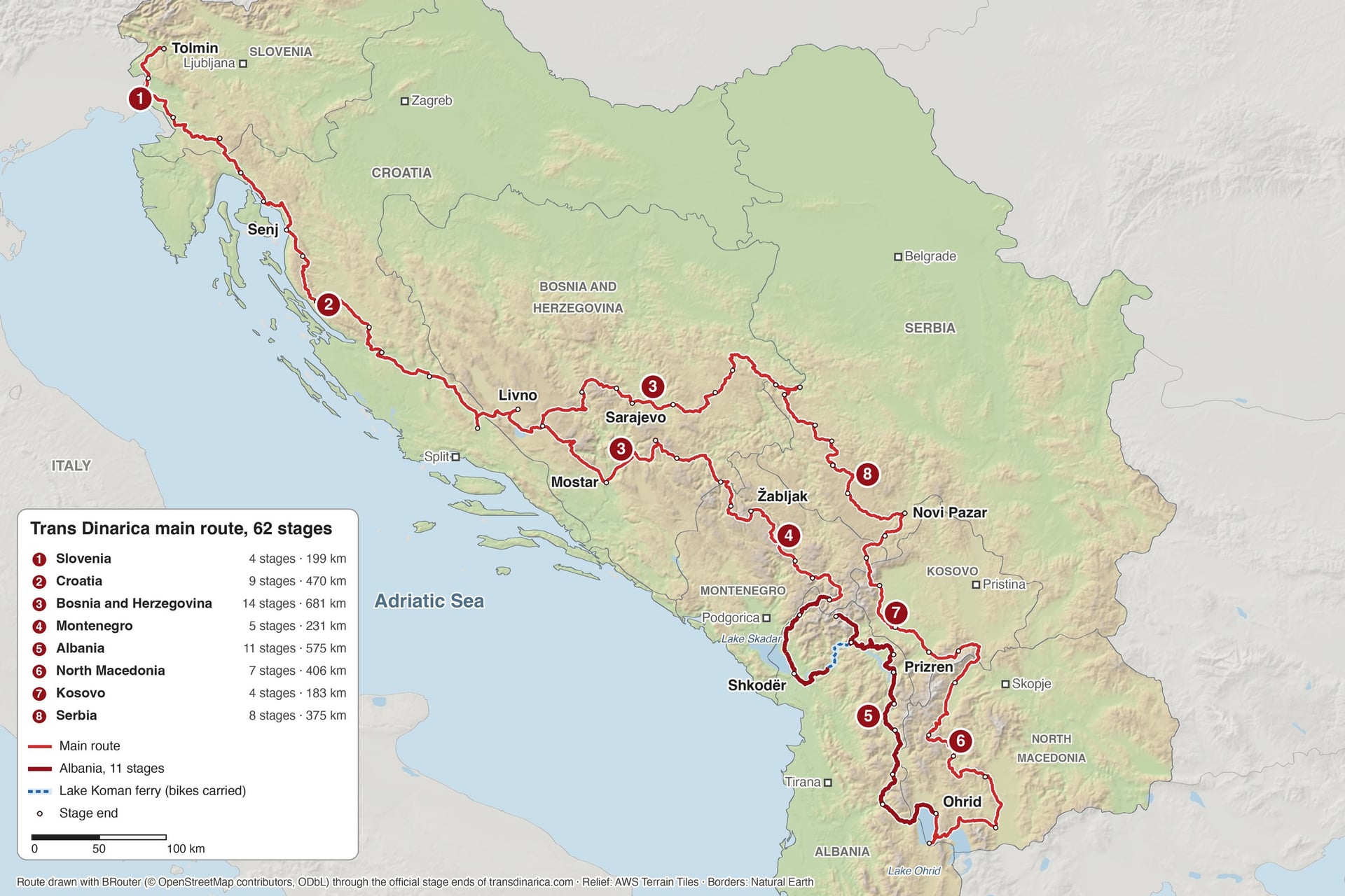
In Bosnia and Herzegovina the loop has two arms. The western arm runs from Livno through Mostar to the Montenegrin border. The eastern arm comes back from Serbia through Sarajevo to Tomislavgrad, one stage short of where the loop began.
Good Place, a Slovenian outdoor travel company, laid out the route. Its team chose about 5,500 km from a database of 27,000 km of cyclable roads and trails. On the free Trans Dinarica map the main route is the red line, the one they recommend for most cyclists.
Secondary routes add easier or harder options, and connector stages lead to cities with airports and stations, such as Split, Zadar and Pristina. With them the network has 98 stages and 5,540 km.
The route exists only as GPS data, and nothing on the ground marks the way. The official navigation packs come for the Ride with GPS app or as GPX files, and every stage has a free PDF map with its track and profile.
Several stages also appear in our guide to cycling the Balkans. Its Albanian Alps ride follows the first four Albanian stages, from Gusinje to Valbonë.
The Trans Dinarica Country by Country
The eight parts follow the official stage order from the Soča to the Drina, and they differ more than their distances suggest. Bosnia and Herzegovina has the most climbing and the most gravel, while Albania and Kosovo are the most paved parts, both at 97%.
Part 1: Slovenia, Tolmin to Čavle
Stages: 4
Distance: 199 km
Elevation gain: 3,090 m
Paved: about 76%
Start and finish: Tolmin to Čavle, above Rijeka in Croatia
Highlights: the Soča valley, the Karst plateau, Lipica and the Škocjan Caves
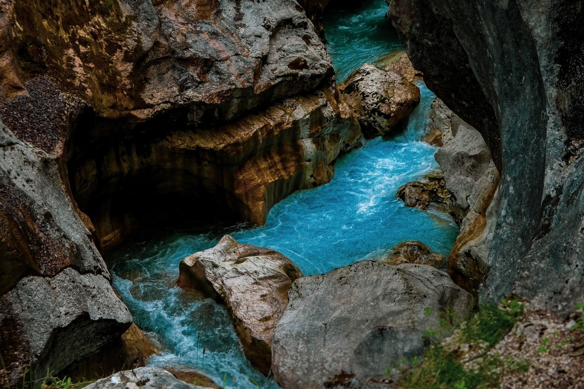
Tolmin stands where the Tolminka meets the Soča, and the first stage follows the river past Most na Soči, Kanal and Solkan to Nova Gorica. A short gravel track high above the left bank gives an early taste of the backcountry riding further south.
The next two stages cross the Karst plateau on gravel and quiet asphalt, past the Lipica stud farm and the Škocjan Caves, a UNESCO World Heritage Site. The route's makers rate Slovenia's main route as probably the easiest of the eight countries.
Part 2: Croatia, Čavle to Livno
Stages: 9
Distance: 470 km
Elevation gain: 7,550 m
Paved: about 81%
Start and finish: Čavle to Livno in Bosnia and Herzegovina
Highlights: the Kvarner coast at Crikvenica and Senj, Northern Velebit, Knin and the Cetina spring
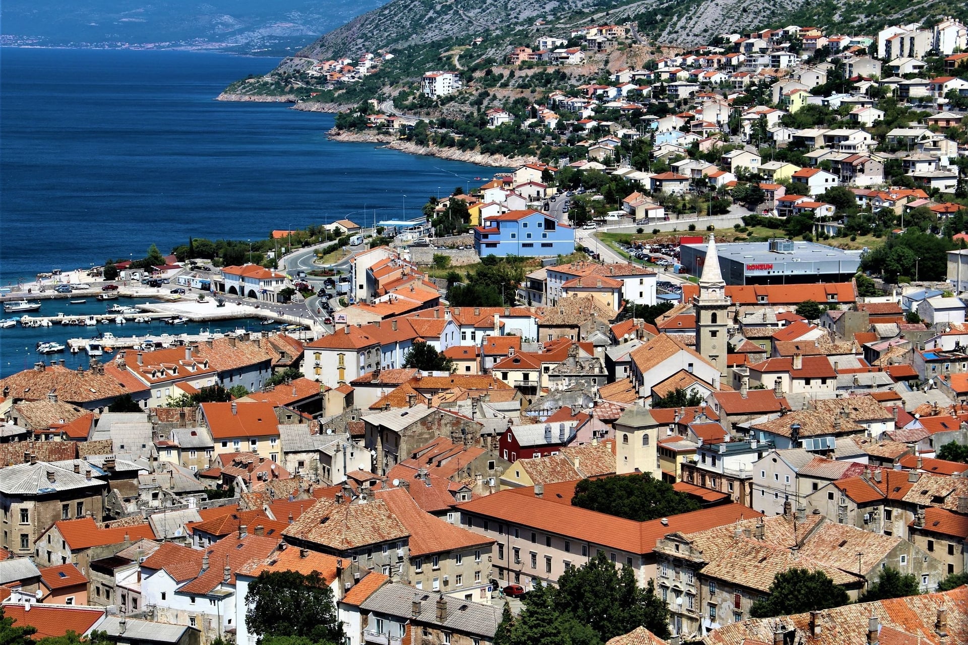
In Croatia the first swim comes at Crikvenica, and the route then climbs inland on gravel above the Kvarner islands to Senj. From Senj a loose gravel climb rises above 1,000 m to Krasno, on the edge of Northern Velebit National Park.
The Velebit stages are remote, and the 68 km from Krasno to Baške Oštarije have one water source. Beyond Knin the route passes below Mount Dinara (1,831 m), the peak that gave the Dinaric Alps their name, before the Cetina spring and Sinj.
Part 3: Bosnia and Herzegovina, Two Arms of the Loop
Stages: 14
Distance: 681 km
Elevation gain: 13,380 m
Paved: about 70%
Start and finish: Livno to Šćepan Polje on the western arm, Bajina Bašta to Tomislavgrad on the eastern arm
Highlights: Blidinje Lake, Mostar's Old Bridge, Sarajevo's Baščaršija, Prokoško Lake and Rama Lake
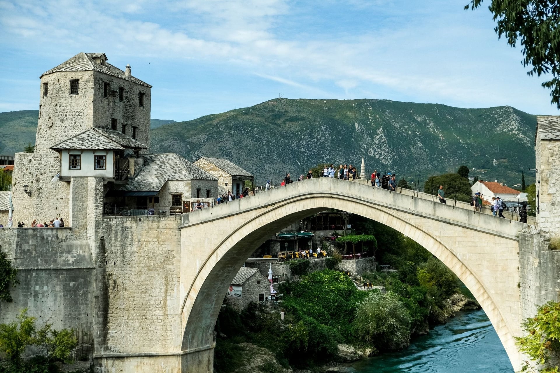
North-west of Mostar the route crosses the plateau at Blidinje Lake, about 1,200 m up, then drops on rough gravel to the Neretva. On the 78 km from Tomislavgrad there are few restaurants or shops, so carry food for the day.
Further east, the stage from Tušila to Kalinovik is only 6% paved. The eastern arm climbs through the forests of Drina National Park and reaches Sarajevo through the Miljacka gorge on a railway path. Later it climbs close to Prokoško Lake, 1,636 m up in the mountains.
Part 4: Montenegro, Šćepan Polje to Gusinje
Stages: 5
Distance: 231 km
Elevation gain: 4,780 m
Paved: about 89%
Start and finish: Šćepan Polje to Gusinje, below the Prokletije range
Highlights: Durmitor National Park, the Sedlo pass, the Sinjajevina plateau and Lake Plav
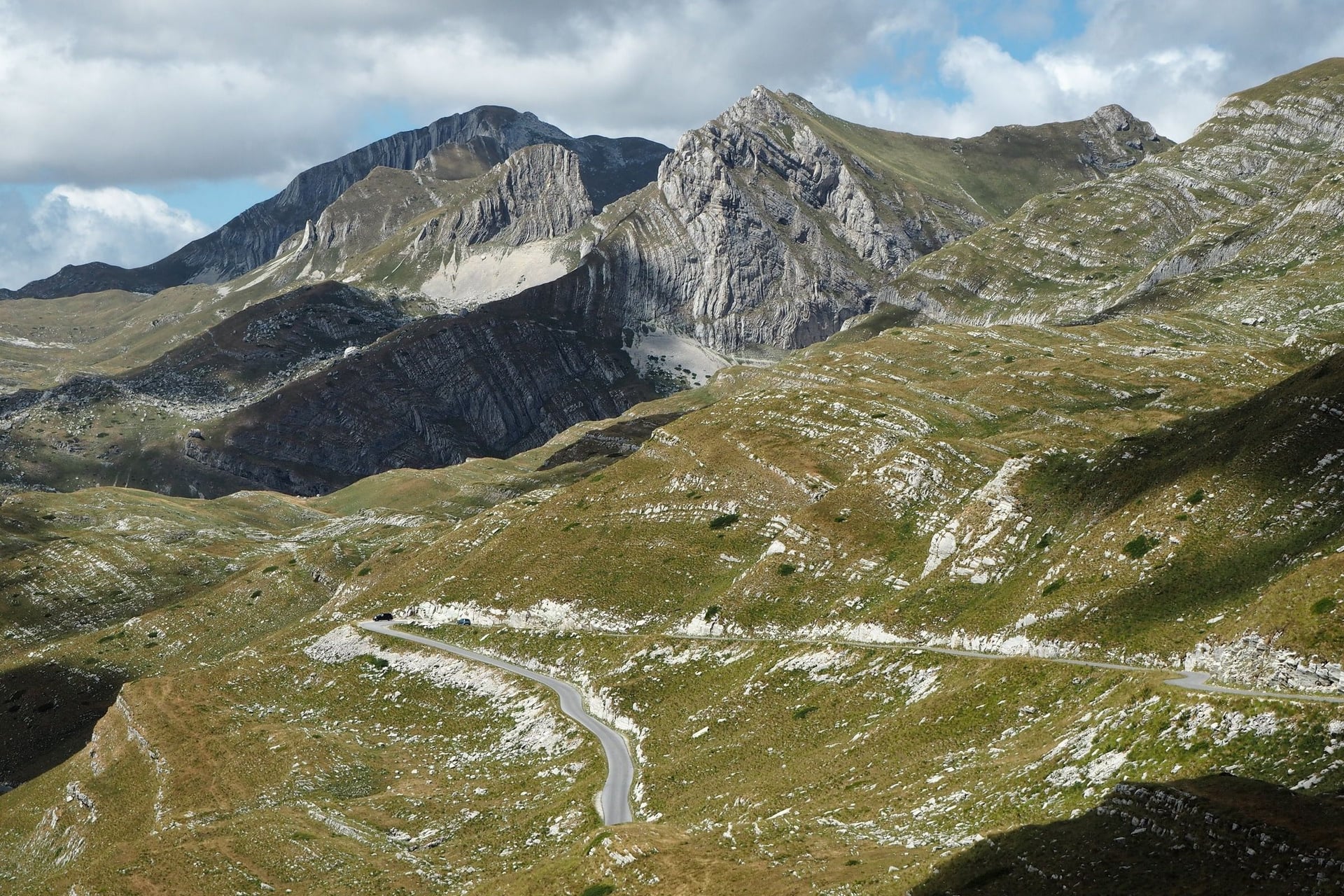
Montenegro's part opens with a climb of about 16.5 km from the Tara at Šćepan Polje, then rolls across the plateau to Trsa. The next stage is one of the most beautiful on the whole route, crossing the Sedlo pass at 1,907 m on its way to Žabljak.
Snow can close Sedlo until May, and in May 2026 the route's team published an alternative through the Sušica canyon. After Žabljak, rough gravel crosses the Sinjajevina plateau to Kolašin, and loaded riders may have to push in places.
Part 5: Albania, Gusinje to Ohrid
Stages: 11
Distance: 575 km
Elevation gain: 10,210 m
Paved: 97%
Start and finish: Gusinje in Montenegro to Ohrid in North Macedonia
Highlights: the Albanian Alps, the Lake Koman ferry, the Valbona valley, Kukës and Lake Ohrid
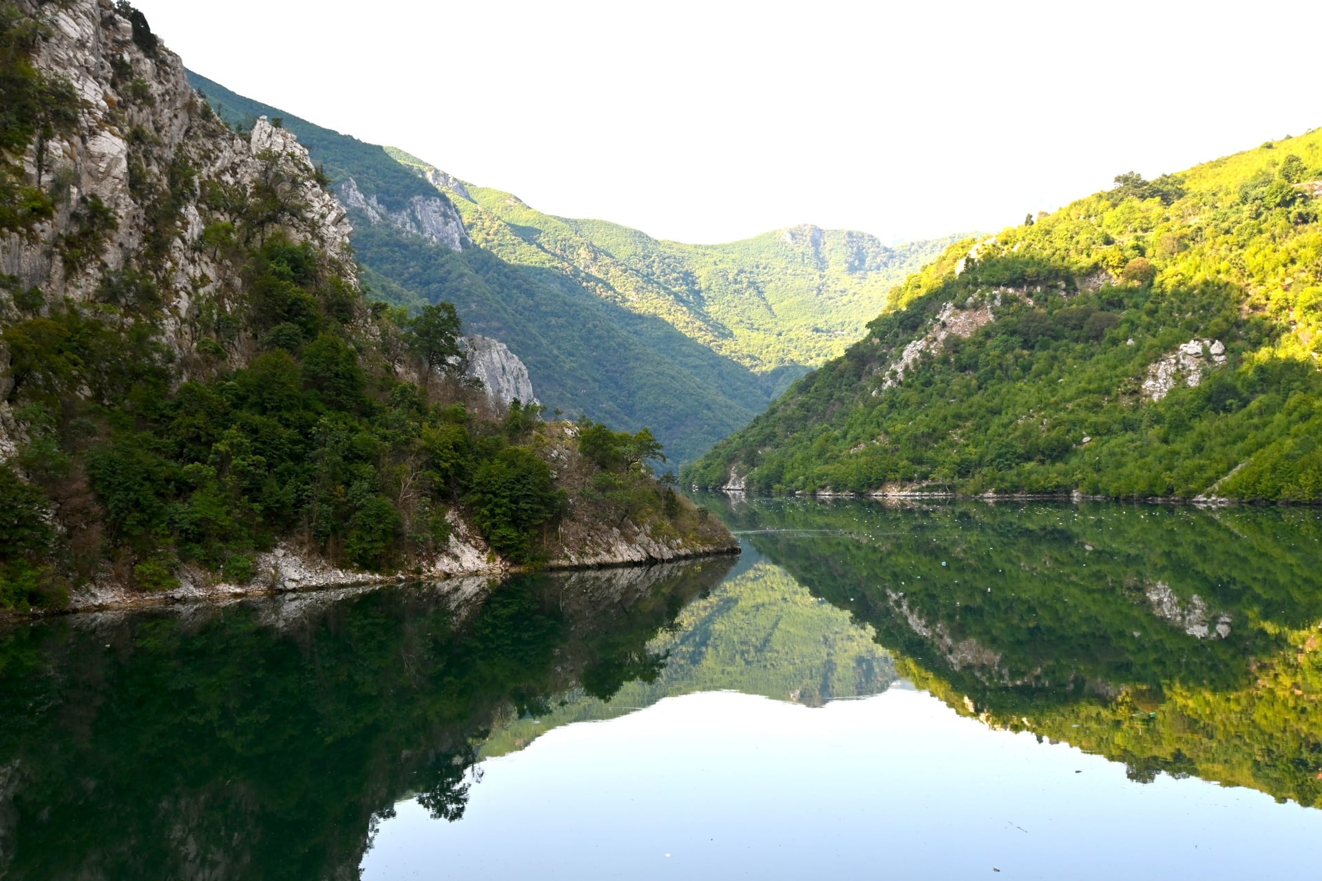
The first stage follows the Vermosh river from Gusinje over the border and climbs to Tamarë, a renovated stone village beside the Cem. Stage 2 crosses the mountains on the SH20, one of the most beautiful asphalt roads in Albania, and drops to Shkodër.
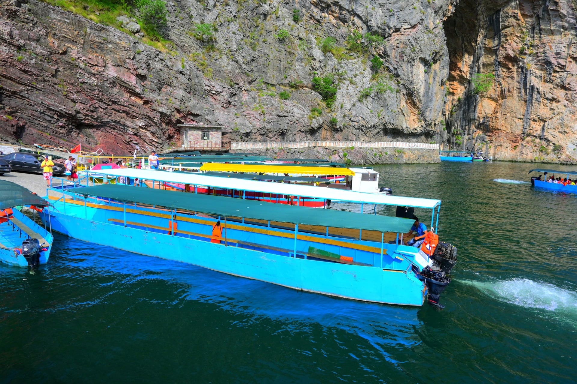
Stage 3 rides about 50 km to the Koman dam, where the Berisha ferry leaves at 9:00 and the Alpin ferry at 11:00 for Fierzë. The first kilometres out of Shkodër are busy, so many riders sleep near the lake and board without a dawn start.
From Dushaj, stage 4 is an optional out-and-back, a 41 km climb on asphalt to Valbonë. The main line then turns east through the Has hills to Krumë and Kukës, and runs south past Peshkopi towards Lake Ohrid.
Six of the 11 stages climb more than 800 m, and only the short stage into Kukës has more than a few kilometres of gravel.
Stage | Distance | Elevation gain | Paved |
Gusinje to Tamarë | 38 km | 680 m | 100% |
Tamarë to Shkodër | 64 km | 790 m | 100% |
Shkodër to Dushaj, with the Koman ferry | 55 km | 880 m | 100% |
Dushaj to Valbonë and back | 81 km | 1,420 m | 100% |
Dushaj to Krumë | 77 km | 1,410 m | 100% |
Krumë to Kukës | 30 km | 430 m | 77% |
Kukës to Matranxh | 36 km | 1,310 m | 100% |
Matranxh to Peshkopi | 37 km | 540 m | 100% |
Peshkopi to Sebisht | 47 km | 1,090 m | 100% |
Sebisht to Librazhd | 35 km | 470 m | 100% |
Librazhd to Ohrid | 75 km | 1,190 m | 95% |
Total | 575 km | 10,210 m | 97% |
Kukës is a new town, built after the old one disappeared under the Fierza reservoir in 1976. South of Peshkopi the route follows the Black Drin on roads that were gravel until 2025.
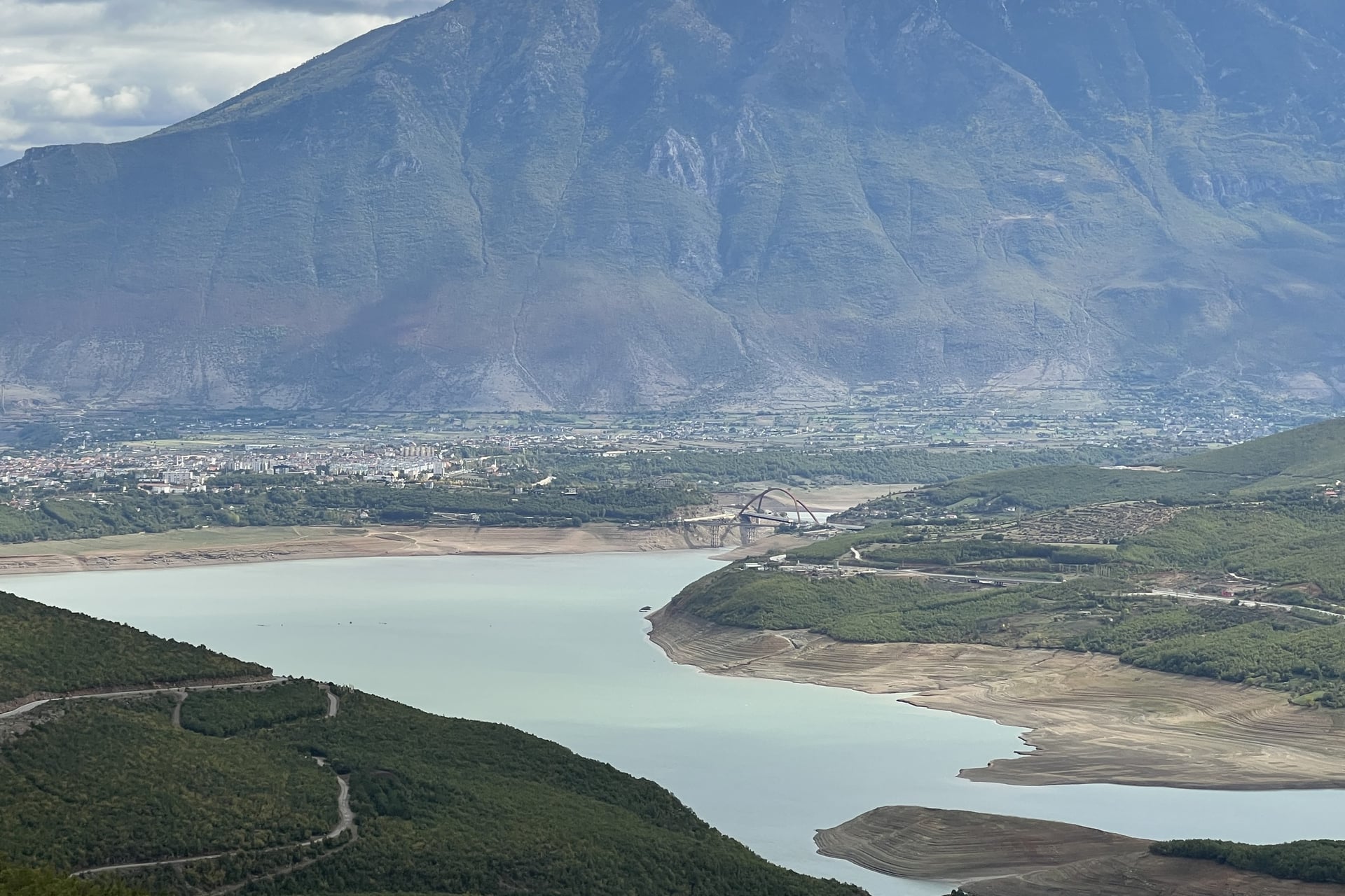
In July 2026 the route's team warned of motorway works between Librazhd and Përrenjas on the last stage. The road is open to bikes but dusty and gravelly, so consider the bus from Librazhd for that stretch.
Two secondary routes leave the main line. From Tamarë a four-stage alternative climbs 81 km and 2,100 m via Bogë to Theth, the climb also described in our guide to cycling in Albania. It then crosses the Mali i Shoshit pass on a track 84% unpaved, a job only for experienced gravel riders.
The Tirana variant leaves Shkodër for Laç, Tirana and Elbasan, then runs through Korçë to Sveti Naum on Lake Ohrid: six stages and 397 km. As far as Tirana it shares its corridor with EuroVelo 8, and the route's makers call it the slightly easier way across Albania.
Part 6: North Macedonia, Ohrid to Brezovica
Stages: 7
Distance: 406 km
Elevation gain: 6,340 m
Paved: 93%
Start and finish: Ohrid to Brezovica in Kosovo
Highlights: Lake Ohrid, Sveti Naum, the Galičica pass, Bitola, Kruševo and Lake Mavrovo
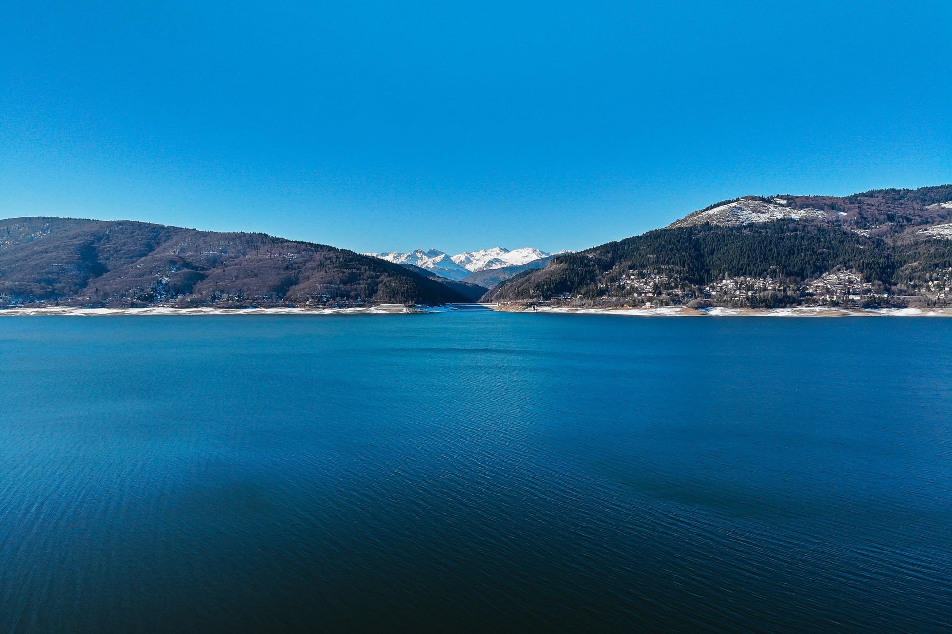
North Macedonia starts with a short stage, 31 km along the east shore of Lake Ohrid to the monastery of Sveti Naum. The next day climbs about 700 m in 13 km over the Galičica pass, and there are no shops or cafés until Lake Prespa.
Kruševo, at about 1,350 m, is one of the highest towns in the country. Between Kičevo and Lake Mavrovo part of the stage uses the busy E-65, and after the lake an unpaved descent leads towards Tetovo.
Part 7: Kosovo, Brezovica to Rožaje
Stages: 4
Distance: 183 km
Elevation gain: 3,040 m
Paved: 97%
Start and finish: Brezovica to Rožaje in Montenegro
Highlights: the Prevalla pass, Prizren's old town, Gjakova's bazaar and the mountains above Peja
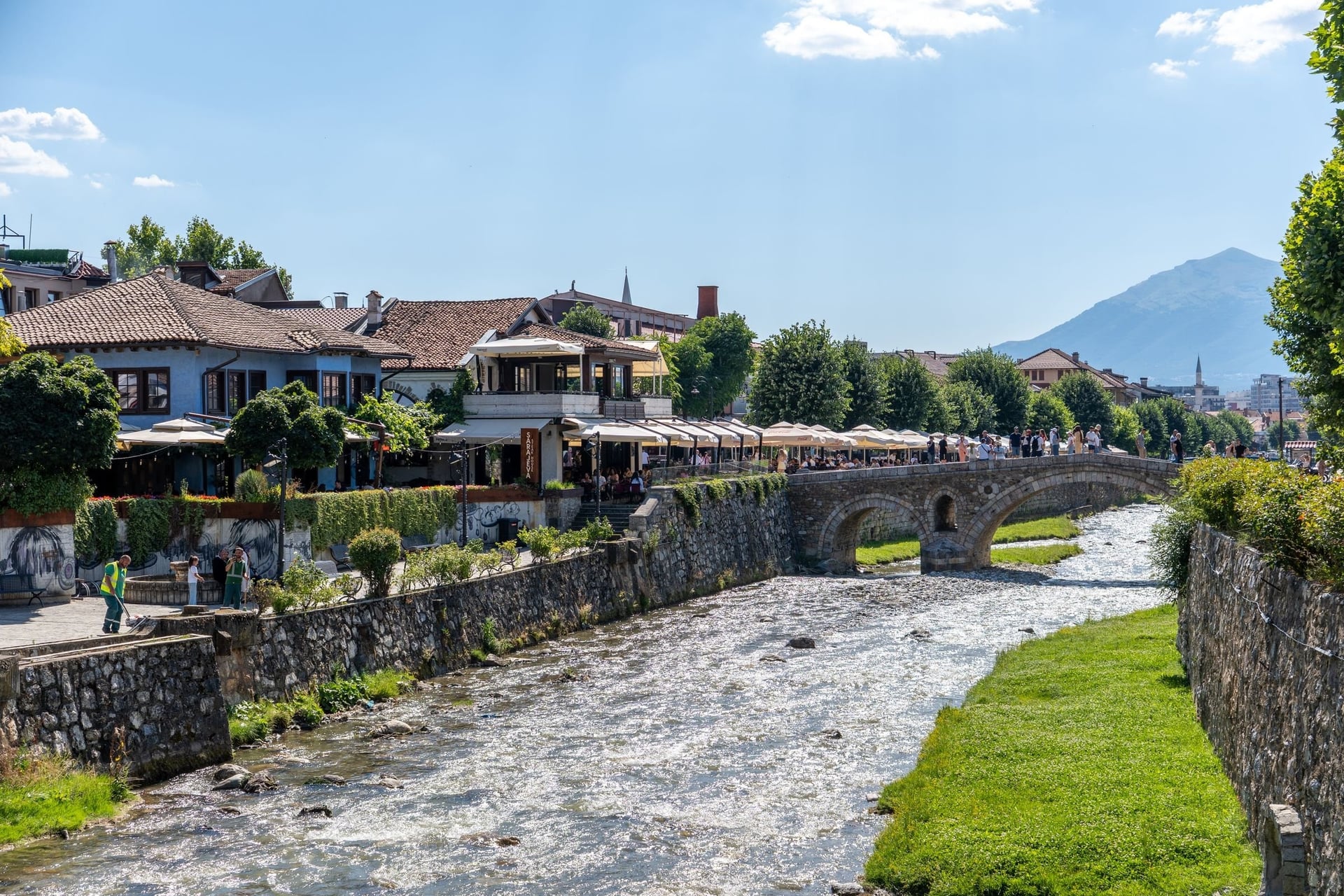
Kosovo's section, the shortest on the route, begins with an 11 km climb from about 900 m at Brezovica to just over 1,500 m at the Prevalla pass. The next two stages are easy by Trans Dinarica standards: 94 km with 840 m of climbing, almost all on asphalt, through Gjakova to Peja.
From Peja a 20 km climb leads into the mountains and over the Montenegrin border, about 32 km into the stage. An 18 km descent then ends in Rožaje, a lively town with shops and cafés.
Part 8: Serbia, Rožaje to Bajina Bašta
Stages: 8
Distance: 375 km
Elevation gain: 7,040 m
Paved: about 79%
Start and finish: Rožaje in Montenegro to Bajina Bašta on the Drina
Highlights: Novi Pazar's old bazaar, the Uvac canyon, Zlatibor, Drvengrad and Tara National Park
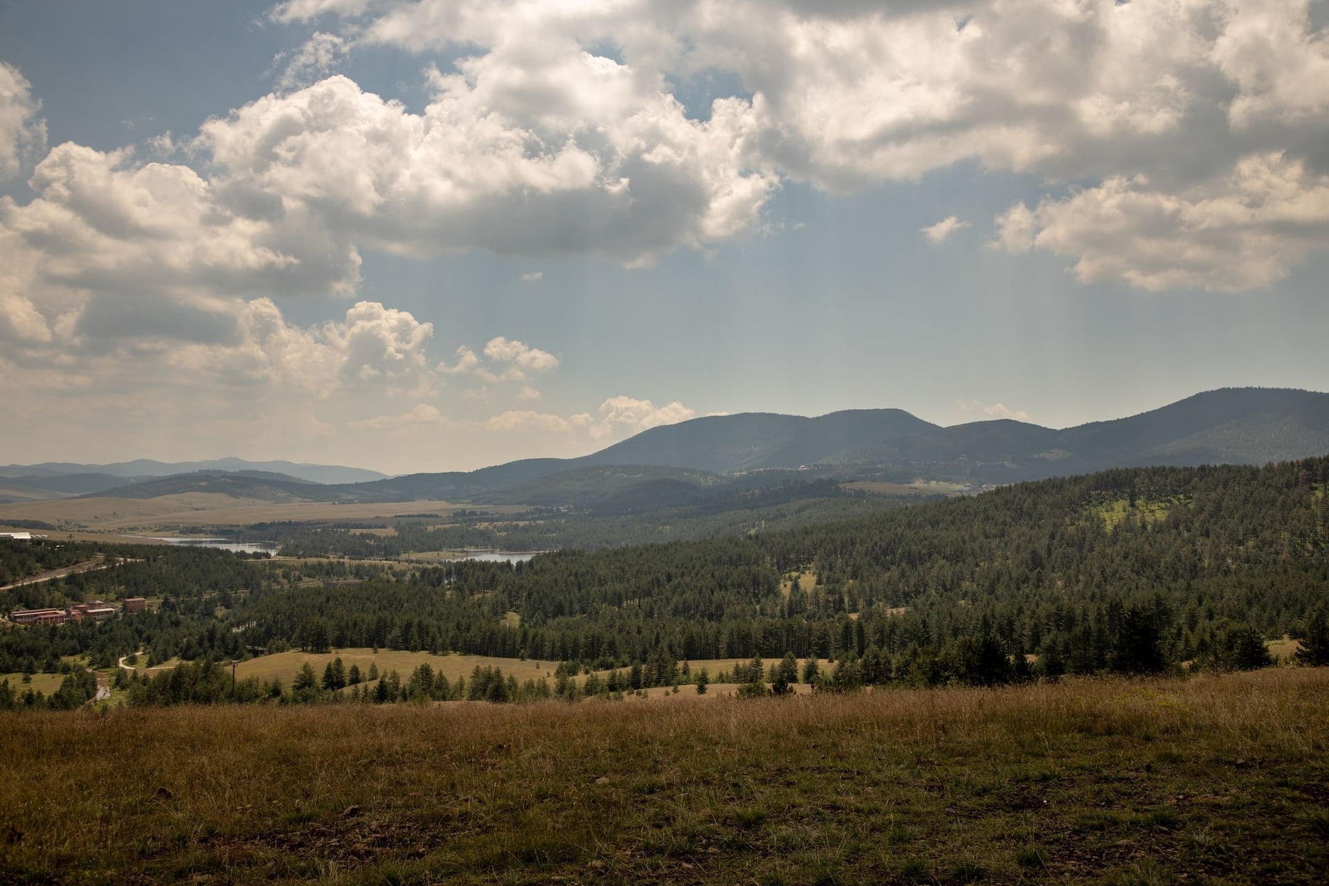
Serbia's part runs north through the Sandžak region to Novi Pazar, a market town near the UNESCO-listed site of Stari Ras and Sopoćani. Sjenica, above 1,000 m and known for its cheese, comes a stage later.
After Sjenica the gravel sections get longer, and the Uvac canyon is an optional detour before Zlatibor. The last stage drops through tunnels beside the Drina to Bajina Bašta, where riders stock up before the remote Bosnian stages.
How Long Does It Take to Ride the Trans Dinarica?
The main route's 62 stages average about 50 km, so one stage a day means 62 riding days, or about ten weeks with rest days.
Few riders have that long. The route's makers publish 12 suggested itineraries with advice on getting to the start and home again, and four of them include Albania.
Itinerary | Countries | Stages | Distance | Shape |
Most na Soči to Rijeka | Slovenia, Croatia | 5 | 229 km | One way |
The Slovenia Circle | Slovenia | 6 | 289 km | Loop |
The Accursed Mountain Circuit | Montenegro, Albania | 9 | 422 km | Loop |
Tirana to Ohrid | Albania, North Macedonia | 10 | 533 km | One way |
The Lake Circuit | Albania, North Macedonia | 15 | 832 km | Loop |
The Dinarics-Sharr Circuit | Albania, North Macedonia, Kosovo | 19 | 1,036 km | Loop |
The whole main route | All eight countries | 62 | about 3,120 km | Loop with a start in Slovenia |
A single country takes from four riding days in Slovenia or Kosovo to two weeks in Bosnia and Herzegovina. Add a spare day in every week, because weather, repairs and rest days add up.
How Hard Is the Trans Dinarica?
The difficulty is the climbing more than the distance: the 62 main stages average about 50 km but close to 900 m of elevation gain each.
Climbs and Daily Distances
The route's FAQ asks riders to know what 1,000 m of climbing in a day feels like, because some stages bring twice that amount. Klotjevac to Han Pijesak gains 1,940 m in 63 km, and Kukës to Matranxh 1,310 m in only 36 km.
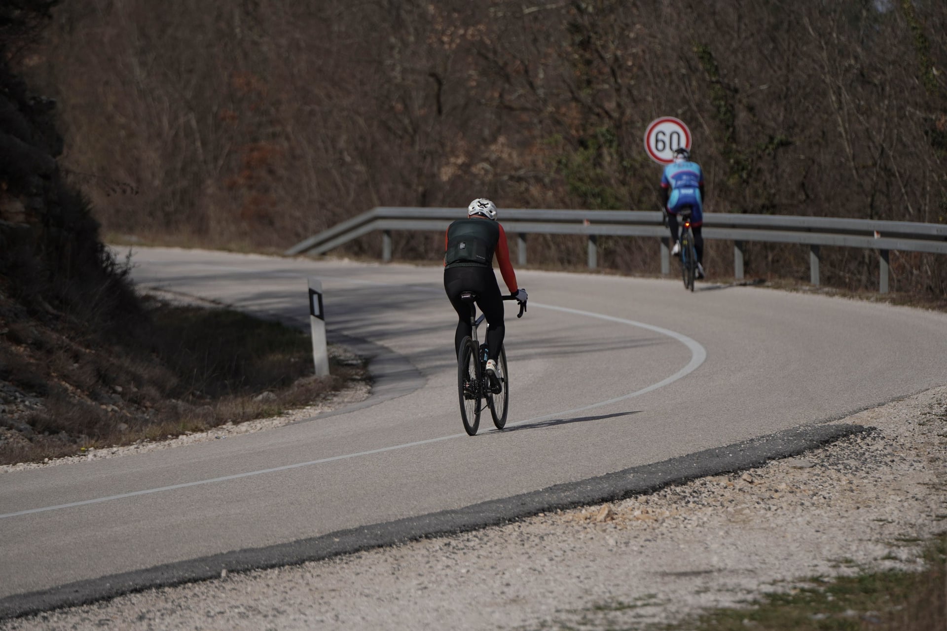
The official direction matters too. Tomislavgrad to Mostar and Žabljak to Kolašin are much harder ridden the other way. On a loaded bike in the mountains you will cover fewer kilometres a day than at home.
Gravel and the Right Bike
About four fifths of the network is asphalt, but the share varies by stage. Tušila to Kalinovik is 94% gravel, while most Albanian stages are fully paved. The Trans Dinarica cycling route was designed for gravel bikes and suits e-bikes.
The FAQ rules out only folding bikes, heavy downhill bikes and racing road bikes. Tyres of 35 mm or wider handle the forest roads in Croatia and Bosnia and Herzegovina, where loose stones make the descents slow.
Traffic, Dogs and Safety
Most stages use quiet roads, but a few stretches carry heavy traffic. Take care leaving Shkodër and on the E-65 between Kičevo and Mavrovo. On the last 20 km to Šćepan Polje, rafting vans race along the narrow road.
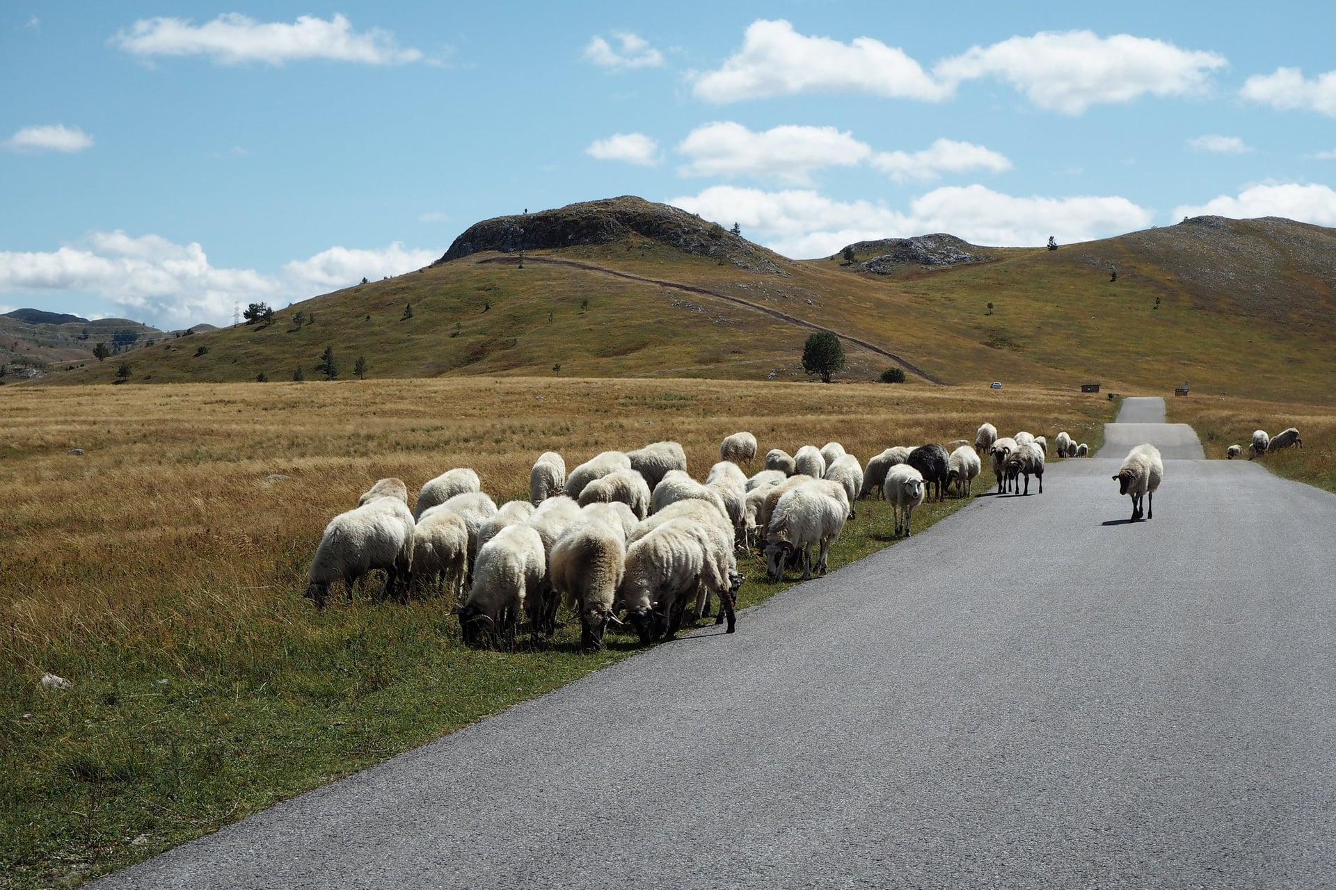
Shepherd dogs guard flocks on the high pastures of Durmitor and elsewhere, and bears and wolves live in the forests. Red signs mark old minefields in parts of Croatia and Bosnia and Herzegovina, but on the route itself there is no risk from mines.
Below Velebit the bura, a gusty north-east wind, can make riding dangerous. If the main roads close to lorries and motorbikes, wait a day in Senj, because a strong bura rarely lasts long.
Navigation Without Signs
The Trans Dinarica trail exists only in digital form, so a phone or GPS unit does the navigating all day. The Full pack gives turn-by-turn directions in the Ride with GPS app, works offline and exports GPX files to Garmin or Wahoo units.
Keep a power bank in the bag and a second copy of the route on another device. Riding in the reverse direction is possible, but you need to reverse the tracks yourself.
Best Time to Ride the Trans Dinarica
In summer the valleys get hot, and in spring and autumn snow can lie on the high passes, so the best month depends on the part you ride.
For the whole route the official answer is May to September. In July the average high is 33 °C in Mostar and Shkodër but 21 °C in Žabljak. So ride the high stages in summer and the valleys in spring or autumn.
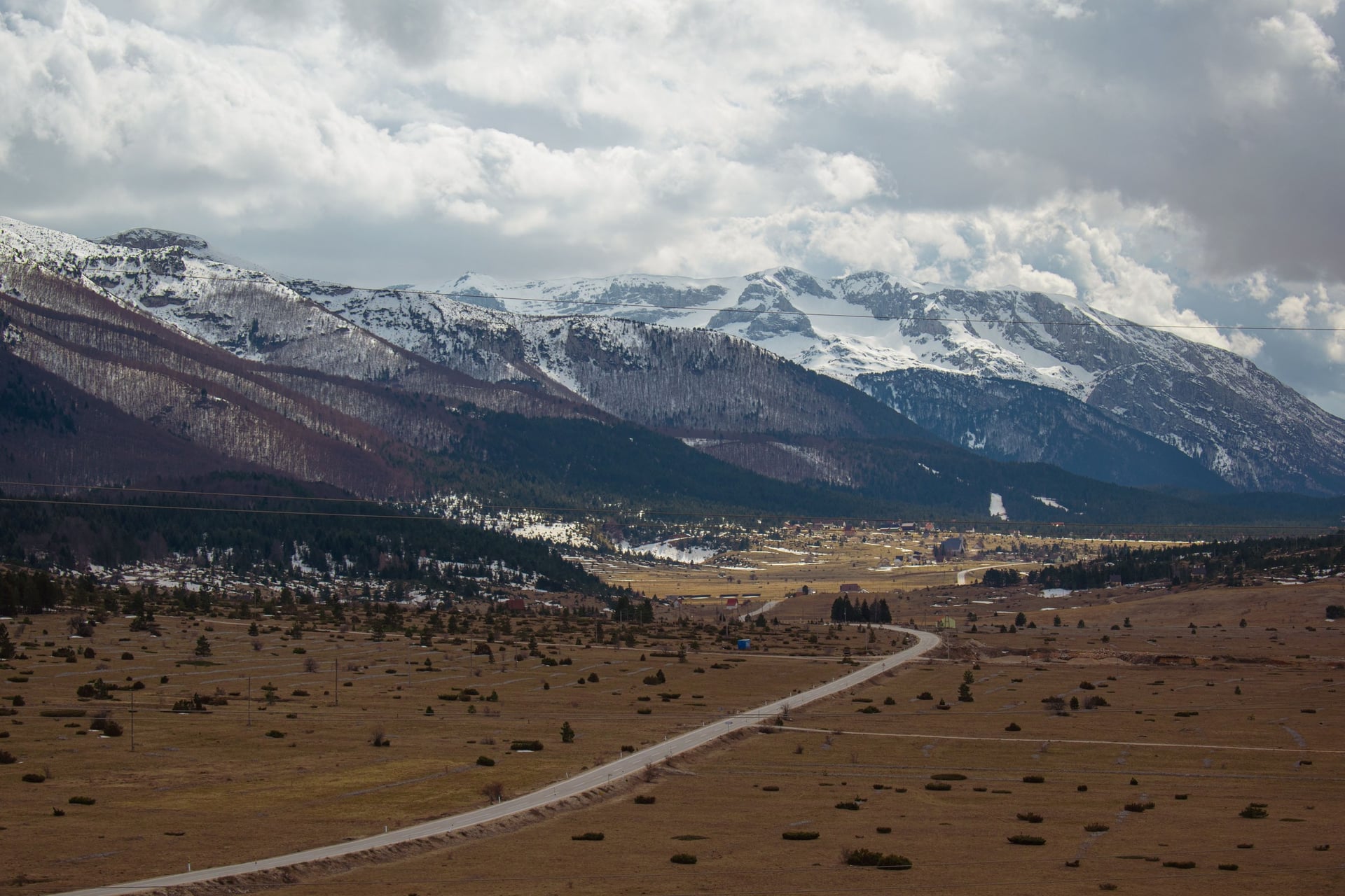
These are the average daily highs from long-term records.
April and May: 20 and 25 °C in Mostar, 20 and 23 °C in Shkodër, but 10 and 15 °C in Žabljak; snow can close the Sedlo pass at 1,907 m until May
June: 30 °C in Mostar, 29 °C in Shkodër and 25 °C in Sarajevo and Ohrid, with long days before the summer traffic
July and August: 33 to 34 °C in Mostar and Shkodër, 21 to 22 °C in Žabljak and about 24 °C on Zlatibor
September: 27 °C in Shkodër, 24 °C in Ohrid and 17 °C in Žabljak; the first snow can fall on Bjelašnica above Sarajevo
October: 22 °C in Mostar and Shkodër and 13 °C in Žabljak; on the Sinjajevina plateau restaurants and beds close early in the month
November to March: snow on the high stages, and many mountain guesthouses closed
In early spring and late autumn, while snow lies on Velebit, a secondary route in Croatia follows the old Adriatic coast road and the island of Pag. In summer that road is hot and busy, so the main route over Velebit is better.
Know Before You Arrive
Most trips start at an airport near one end of a section. The practical side comes down to borders, beds, five currencies and the navigation pack.
Getting There and Back
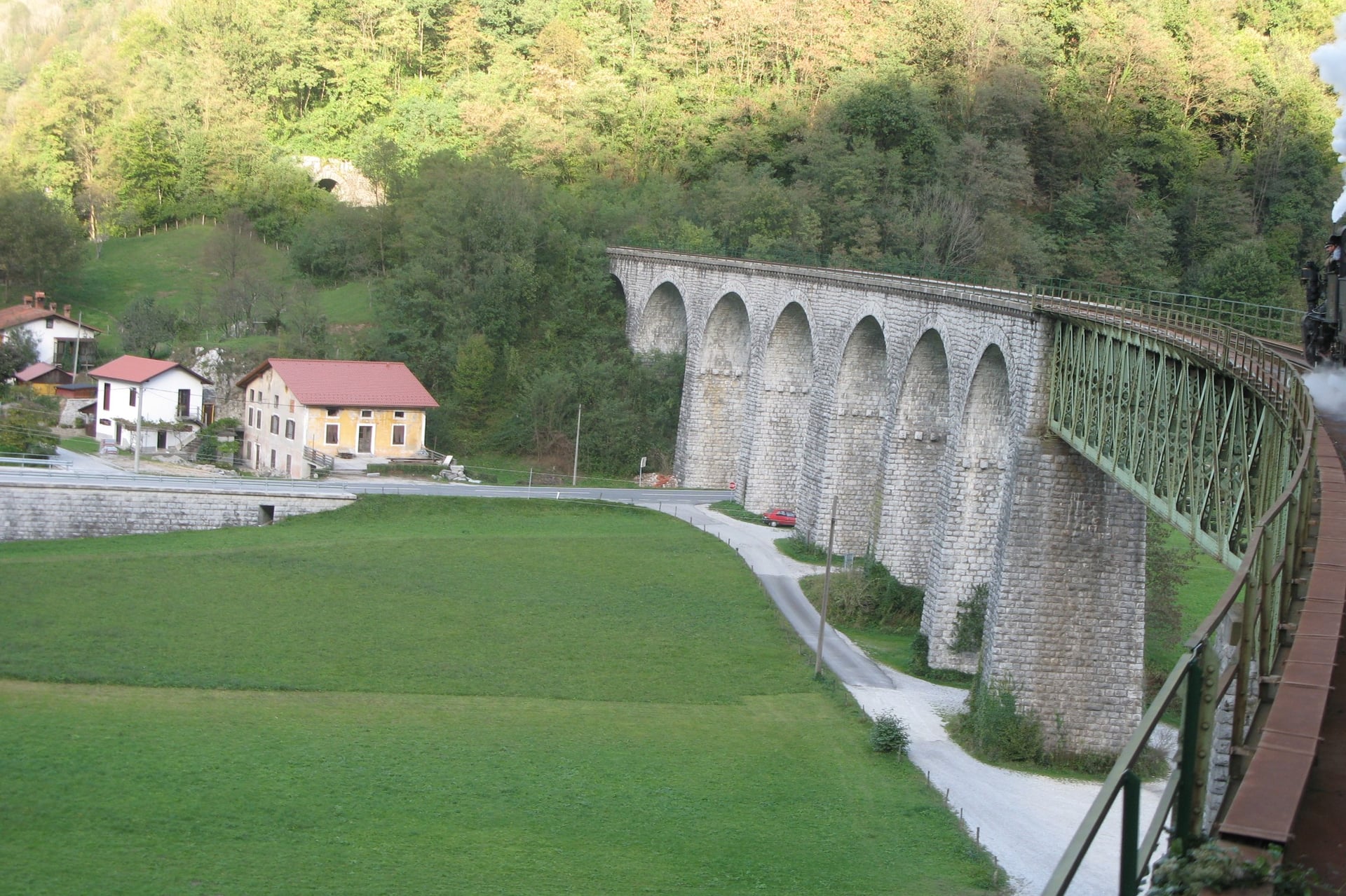
The start at Tolmin is 5 km from Most na Soči station on the Bohinj railway. The line opened in 1906 and runs from Jesenice to Nova Gorica. The route's makers recommend the train over the bus, which does not always take bikes.
Slovenia and Croatia: Ljubljana, Trieste or Venice for the start, Split and Zadar for the Croatian stages
Bosnia and Herzegovina: Sarajevo and Mostar airports, both in towns on the route
Montenegro and Albania: Podgorica, Tivat and Tirana; trains between Podgorica and Kolašin carry bikes
North Macedonia and Kosovo: Ohrid, Skopje and Pristina airports
Serbia: Belgrade, with the best flights in the region but more than 200 km by road from the route
Buses link the larger towns, but whether a bike goes in the hold depends on space and the driver.
Border Crossings
The main route crosses a border nine times, and riders queue with the cars for a passport check. Slovenia and Croatia are both in the Schengen area, so there is no check between them.
Leaving Croatia: since 10 April 2026 the Entry/Exit System takes fingerprints and a photo from non-EU visitors at the Schengen border
Šćepan Polje: check out of Bosnia and Herzegovina before the Tara bridge, then cross to the Montenegrin post before turning onto the side road
Kosovo to Serbia: the route goes from Peja to Rožaje in Montenegro first, the third-country route the UK travel advice recommends; Serbian guards have refused entry to some travellers with Kosovo stamps
Peja to Gusinje connector: an unofficial crossing; register with the police 24 hours ahead and ask for the permit by email 10 days before
Visas: UK visitors need no visa for up to 90 days in any of the eight countries; US visitors should check each country's rules
Where to Sleep
Mountain nights are in family guesthouses and small hotels, often with dinner, and some villages have only one or two. Book the mountain nights first, especially in July and August.
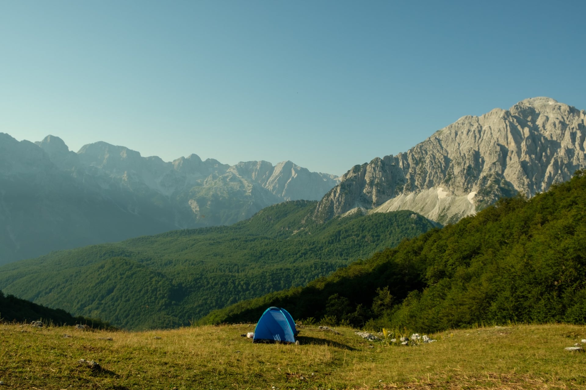
Valbonë (about 930 m): family guesthouses in the Valbona valley, where half board is the norm because restaurants are few
Bogë (850 m): the Boga Alpina has rooms, mountain-style lodging and camping, with secure bike storage and home cooking, on the way to Theth
Fushë Studë: Joen Village has 8 rooms in two villas for up to 24 guests, with breakfast, bike parking, e-bike charging and laundry, between Sebisht and Librazhd
Etno Selo Štavna (Montenegro): mountain huts open from May to September; outside the season the nearest beds are in Andrijevica
Klotjevac (Bosnia and Herzegovina): very few beds at the end of the first eastern stage, so book early
Ilirska Bistrica (Slovenia): Franz Apartments has seven apartments with kitchens, a bike garage, e-bike charging and a washing machine
What to Eat
Food on the route is meaty and filling, and the official FAQ says vegetarians find the most choice in Slovenia and Albania. In Muslim-majority areas wine and beer are not always on the menu.
Burek: the flaky pastry pie sold in bakeries across the region; the 2025 navigation pack added burek places among its new points of interest
Teran and Karst ham: red wine and prosciutto from the Karst plateau on Slovenia's second stage
Runolist cheese: the dairy in Krasno, on the edge of Northern Velebit, has a shop and a tasting room
Livanjski sir: the cheese of Livno, made there for centuries
Fli: a layered pie of the Kukës region, served at a restaurant where the Black and White Drin meet
Jufka: home-made egg pasta with chicken in Peshkopi, best ordered in advance
Trout: farmed trout at roadside restaurants near Borovë, between Sebisht and Librazhd
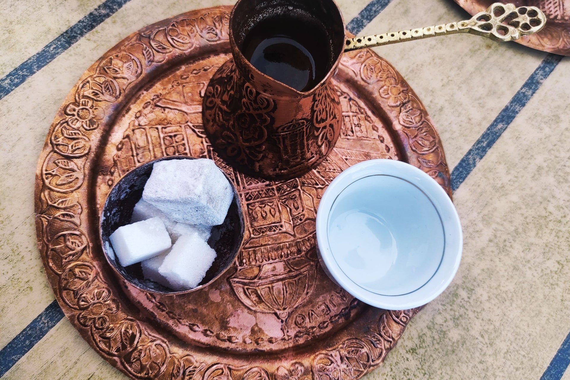
Coffee: strong coffee from a copper pot with sugar cubes, served in the bazaars of Novi Pazar, Sarajevo and Prizren
How Much Does It Cost?
Riding the route is free, and the one fixed cost is the navigation pack, priced by the number of stages in each country. Day to day, prices fall from north to south.
Full navigation pack: 53 € for Albania, whose pack covers 21 stages with the variants, or 193 € for all eight countries, 25% less than buying them one by one
Basic pack (GPX files): 32 € for Albania, or 116 € for all eight countries
Validity: packs bought now work until 31 January 2027, and the old version stays usable after that
Lake Koman ferry: 1,000 lek per person and 1,200 lek per bike in cash on the Berisha boat, or €8.80 and €10.60 online
Restaurant and hotel prices, EU = 100 (Eurostat, 2024): Croatia 95, Slovenia 90, Bosnia and Herzegovina 75, Serbia 68, Montenegro 66, Albania 52, North Macedonia 50
You pay in five currencies: the euro in Slovenia, Croatia, Montenegro and Kosovo, plus the convertible mark, the lek, the denar and the dinar. Cards are not accepted everywhere, and there are no cash machines on the route between Mostar and Žabljak.
What to Pack
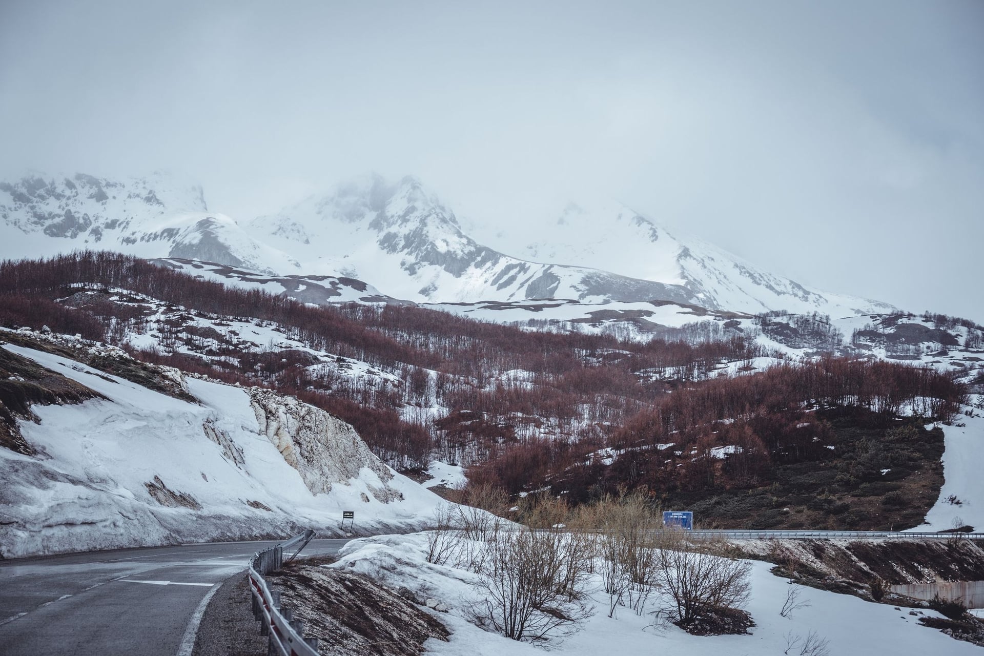
Pack for heat in the valleys and cold on the passes: the route climbs from sea level at Crikvenica to 1,907 m at Sedlo in Montenegro.
For any multi-day ride:
Passport in a bar bag for nine border crossings
Spare tubes, brake pads and a multi-tool, because bike workshops are few between the bigger towns
Front and rear lights for tunnels and busy town exits
Cash in several currencies for village cafés, ferries and guesthouses
For the Trans Dinarica:
Phone with the Ride with GPS app and the navigation pack, plus a power bank
Tyres of 35 mm or wider for the gravel in Croatia and Bosnia and Herzegovina
Rain jacket, warm layers and full-finger gloves for long descents and mountain storms
Two large bottles, because one Velebit stage has a single water source
Light luggage, because every kilo counts on days with 900 m of climbing
The Albanian Alps to Tirana With Your Bags Moved
Albania's main line has long climbs and stretches with few services: beds are scarce around Sebisht, and road works slow the last stage near Librazhd. A shorter way is stage 2 from Tamarë to Shkodër, then the Tirana variant to Elbasan. After Tamarë every night is in a town.
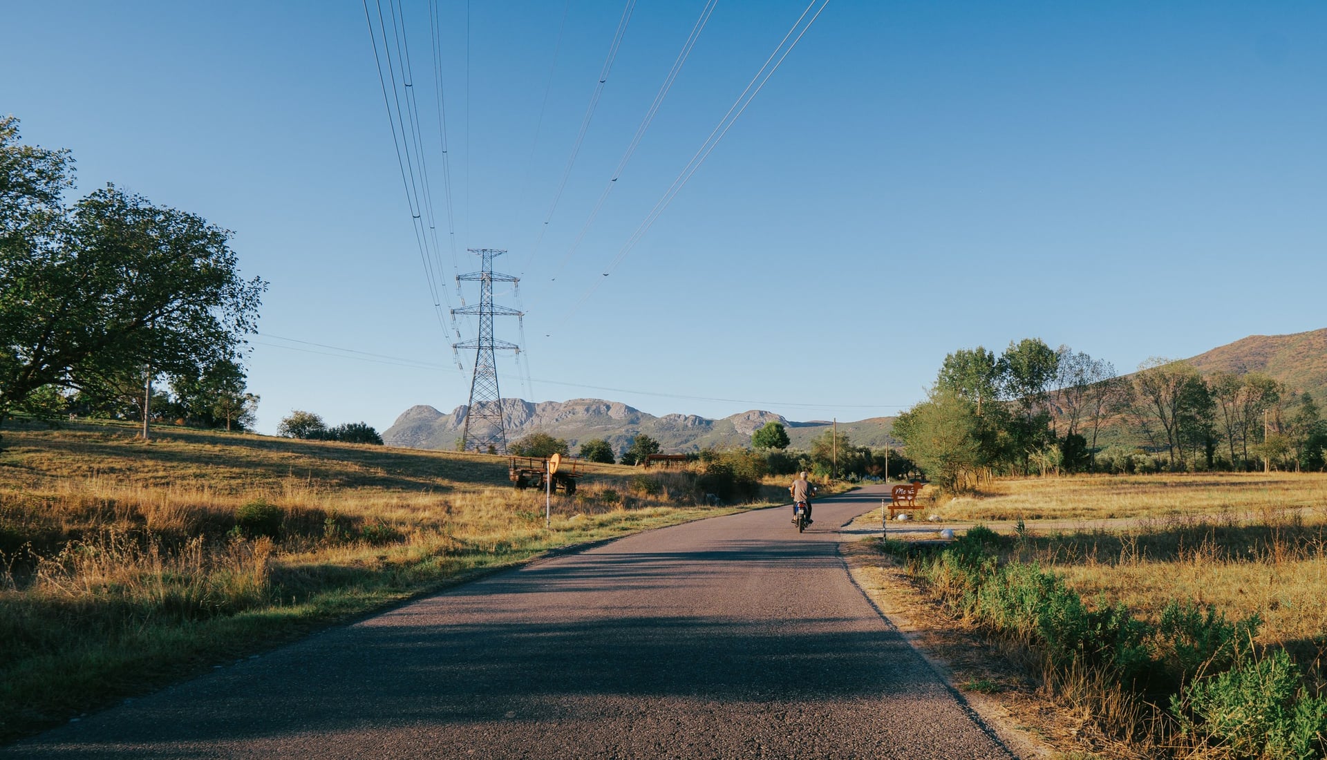
The climbing comes at the ends: stage 2 crosses the mountains on the SH20, and south of Tirana the variant climbs 630 m in 12.5 km. With a support driver who moves the luggage, you climb those hills with only a day bag.
Our self-guided Dinaric Cycling Route in Albania rides that line in four days.
Route: Tamarë to Elbasan via Shkodër, Laç and Tirana, on the main route's stage 2 and the Tirana variant
Days: 6 days / 5 nights, with 4 riding days of 50 to 65 km
Distance and climbing: 230 km and 1,920 m; the hardest day is Tirana to Elbasan, with 850 m
Support: a dedicated driver for the luggage, plus transfers from Tirana to Tamarë and from Elbasan back to Tirana
Season and beds: April to October, in 3-star hotels with breakfast, with a digital guidebook and GPS app
Our Albania UNESCO Cycling Tour starts in Struga on Lake Ohrid, which the main line passes on its last Albanian stage. Ask us about dates for next season.
Out of Tamarë the SH20 leaves the Cem river behind and crosses the mountains. By the afternoon Rozafa castle and Lake Shkodër appear below the road.
Frequently Asked Questions



Plan with a cycling expert
Free advice from a team that knows these routes inside out - real people, not a bot

Hassle-Free
We take care of route planning, accommodations, luggage transfers, and all logistics, so you can focus purely on enjoying your ride.

Tried & Tested Adventures
Our cycling routes are hand-picked & tested, to ensure breathtaking landscapes, smooth roads, and maximum safety - giving you the perfect ride every day.

Unbeatable Support
Our 24/7 customer support is where we show our passion, ensuring your cycling holiday runs smoothly and your well-being is always our top priority.

Book with Confidence
We are a financially protected company, fully bonded and insured, keeping your money safe and allowing you to travel with confidence.